Advertisement
Forecast: Showers Continue Into Evening Commute
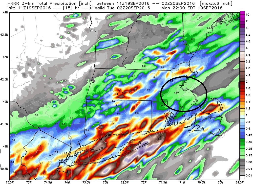
Rain, at times heavy, fell across the region this morning but some areas stayed dry or saw very little in the way of rain. The heaviest precipitation fell over Cape Cod and northern Worcester county — the least rainfall has been from Boston to MetroWest and the southwest suburbs.
Showers will continue on and off through the rest of the day and into the evening commute, although they will be ending at that time as most of the rain will have fallen.
Tuesday and the rest of the week continue the string of warm and dry days we’ve seen for months. Temperatures will average far above where they would typically be found during the second half of September.
Tuesday may start with a few clouds, but sunshine is going to win out. Wednesday, Thursday and Friday will be days to enjoy the beach if you are able.
A cold front will pass through the area Friday night with just a small chance of a few showers. The weekend is looking cooler and drier.
I don’t expect any change in the general dry pattern through the fall with of course some exceptions during the occasional rainy day.
Today: Cloudy with some showers and few downpours. Thunder is possible. Muggy. Highs in the 70s.
Tonight: Early showers then clearing. Lows in the 60s.
Tuesday: Cloudy in the morning, sunny by or before afternoon. Highs 78-83.
Wednesday: Sunny and warm. Highs in the lower 80s.
Thursday:Sunny and warm. Highs in the lower 80s.
Friday: Sunny in the morning, partly cloudy in the afternoon. Muggy. Highs in the lower 80s.
