Advertisement
Forecast: Mix Of Winter Weather Coming Tuesday Night
The sunny, but cold weather we had over the weekend continues today with wall-to-wall sunshine and seasonably cold temperatures. I don't expect most of us will even see a cloud this afternoon. Winds will be very light so wind chill won't be an issue. Clear skies tonight allow temperatures to fall into the lower 20s.
Forecasting issues begin late tomorrow afternoon as a pattern change, eventually leading to milder air, brings a mixed bag of precipitation. Temperatures will be cold enough for frozen precipitation Tuesday night and early Wednesday over the interior. This could create an icing situation leading to very hazardous driving conditions.
East of Route 128 there is little chance of much frozen precipitation. Between Route 495 and Route 128 the chances of icing are marginal. However, west of Route 495 and along the New Hampshire border, as well as the hillier terrain of Worcester County, there could be several hours of sleet and freezing rain Tuesday night. This won't turn into a major ice storm with power outages though. Freezing rain is the most dangerous form of precipitation and it only takes a small amount to cause big travel issues.
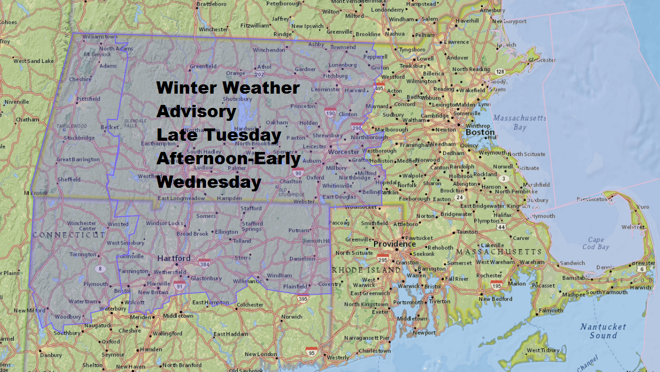
The National Weather Service has issued a winter weather advisory for the mixture of snow, sleet and freezing rain. The map below shows which areas are under this advisory. I expect only about an inch of snow and a tenth of an inch of ice in the areas with the most frozen precipitation. Again, not a big storm, but enough to create a mess.
Warmer air will change any frozen precipitation to all rain Wednesday and then end Wednesday afternoon and evening.
You can follow my weather updates on Twitter at @growingwisdom.
Monday: Sunny and seasonable. Highs 35-40.
Monday night: A few clouds. Lows 22-30.
Tuesday: Lots of clouds and milder. Rain along the coast and mixed precipitation well inland late in the day or at night. Highs 38-44
Wednesday: Rain ending, then cloudy. Highs 35-40.
Thursday: Mostly cloudy, some breaks. Highs 39-44.
Friday through Sunday: Mainly sunny and dry. Lower 40s in the afternoon.
