Advertisement
Forecast: Record-Breaking Warmth Comes Again Wednesday Before Colder Friday
This crazy February weather continues this week into early March with record-breaking warmth expected Wednesday followed up with the chance for some snow by Friday.
On this final February day, temperatures will once again be above average. When the final numbers are in, February 2017 will be one of the warmest February months on record. It will be the 19th of the past 20 months during which the Boston area experienced above-normal temperatures.
We won't know the final numbers until Wednesday, but within the last year, February will definitely be in the top 10 warmest months based on average temperatures. Meanwhile, the entire meteorological winter (December to February) is also going to make the list of top 10 warmest winters.
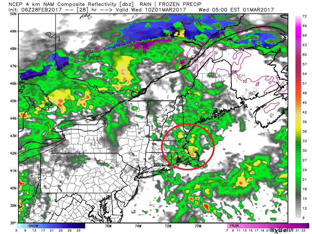
There may be sprinkles today, but the rain will really hold off until late tonight and early Wednesday. Readings today make it into the low to mid-50s. Reminder: Those temperatures are really more typical of April.
Tonight's lows will remain in the 40s, with not much in the way of steady rain until after midnight.
A warm front will push north of us overnight, which is why rain is in the forecast. Most of the rain resulting from this front will come early Wednesday, potentially impacting the morning commute. After the showers end, skies remain generally cloudy, though, there may be some sunny breaks.
On Wednesday, we are firmly entrenched in the warm air. Highs will easily reach the 60s, but whether or not we reach 70 is still questionable. If there is enough sunshine it's possible. That would be another 70-degree day inside of a week that should be 30 degrees colder. I think temperatures stay in the 60s, but even that is pretty amazing.
There is colder air coming — at least for a few days. But, the chillier air doesn't look prolonged or excessive. A weak clipper passes south of Nantucket Friday, and if the track of this changes, we could see a few snowflakes. Right now, however, that doesn't appear likely.
You can follow my updates on Twitter at @growingwisdom.
Tuesday: Clouds thicken, with potential showers in the afternoon. Highs near 55.
Tuesday Night: Mild with a period of showers or rain. Lows 45-50.
Wednesday: Lots of clouds, a few showers or a thunderstorm in the afternoon. Highs 65-70.
Thursday: Mostly sunny and mild. Highs near 52, falling during the day.
Friday: Partly to mostly sunny and colder. Highs 36-41.
Saturday: Sunny and cold. Highs 30-35.
