Advertisement
Forecast: Two Rain Storms By Sunday Morning
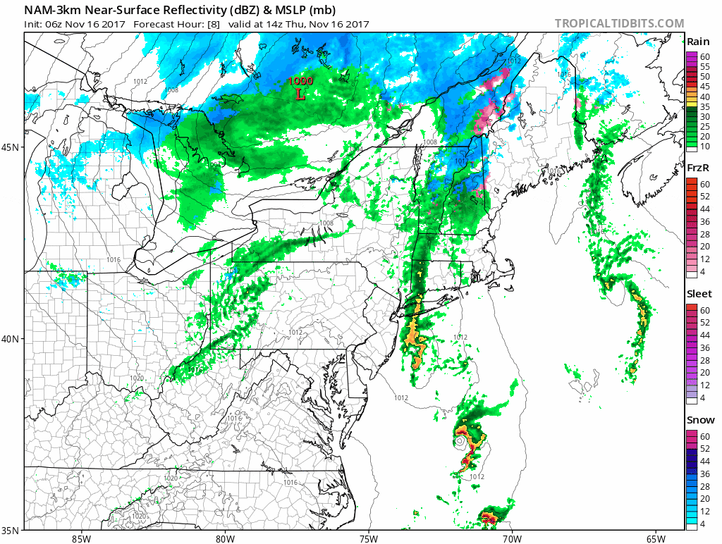
ResumeOn this Thursday morning we're watching a cold front approach the area from the west. Along that front, a low pressure area will develop. As the storm system gets underway, it will bring a brief period of heavy rain and gusty winds to the region. The best chance of strong winds will be south of Boston along the southeast coast. This is also where the likelihood of thunderstorms is highest this afternoon.
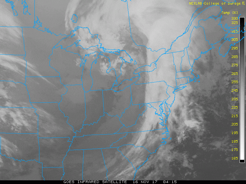
This morning you'll find dry weather for a few hours before the rain moves in. It will be showery at first and then get heavier as the day goes on. This could make for tricky travel for a few hours this afternoon, including part of the evening commute, depending on how quickly the rain moves out. The timing is critical. If the rain area moves the little bit slower, it will be to our north before sunset.
Behind this system, the weather turns blustery and chilly for Friday, but there will be plenty of sunshine. Another storm system approaches for Saturday night and early Sunday. Earlier it looked as if the storm would move in during the afternoon on Saturday, but the timing appears to be delayed by about 6 hours. This should keep it dry for the daylight hours of Saturday. This also means the showers may linger into the first few hours of Sunday morning after you wake up.
Monday and Tuesday look dry next week. We’ll have to watch a storm system Wednesday night or Thursday as it passes to our south and out to sea. Right now it looks like we'll stay dry Wednesday night and Thursday but it's still early in the forecast and game — stay tuned.
You can follow my updates here and on Twitter @growingwisdom.
Thursday: Showers and then a period of rain, perhaps with downpours. Windy over southeastern areas where there could be a thunderstorm. Highs 45-51.
Thursday Night: Showers end, then partly cloudy and chilly. Lows in the low to mid-30s.
Friday: Partly to mostly sunny and cool. Highs 40-45.
Saturday: Partly sunny early, then clouding up, showers developing in the evening. Highs in the mid to upper 40s.
Sunday: Clearing. Highs 46-50.
Monday: Sunny, dry and chilly. Highs 37-42
This segment aired on November 16, 2017.
