Advertisement
Forecast: Chilly With Light Precipitation Today, But The Weekend Looks Spring-Like
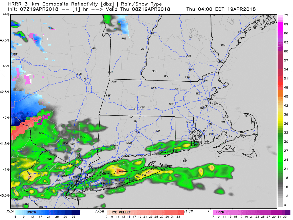
This morning snow and rain will last through the day over western New England as it moves east.
While I don't expect much in the way of accumulation, the grass could turn white in some areas, especially north and west of Route 495 and up toward the New Hampshire border.
The highest elevations of southern Worcester County may see an inch of snow on grassy surfaces, however, roads will just be wet. While this is a late snow, it has snowed as late as May 9th and 10th back in 1977. So, it could be worse.
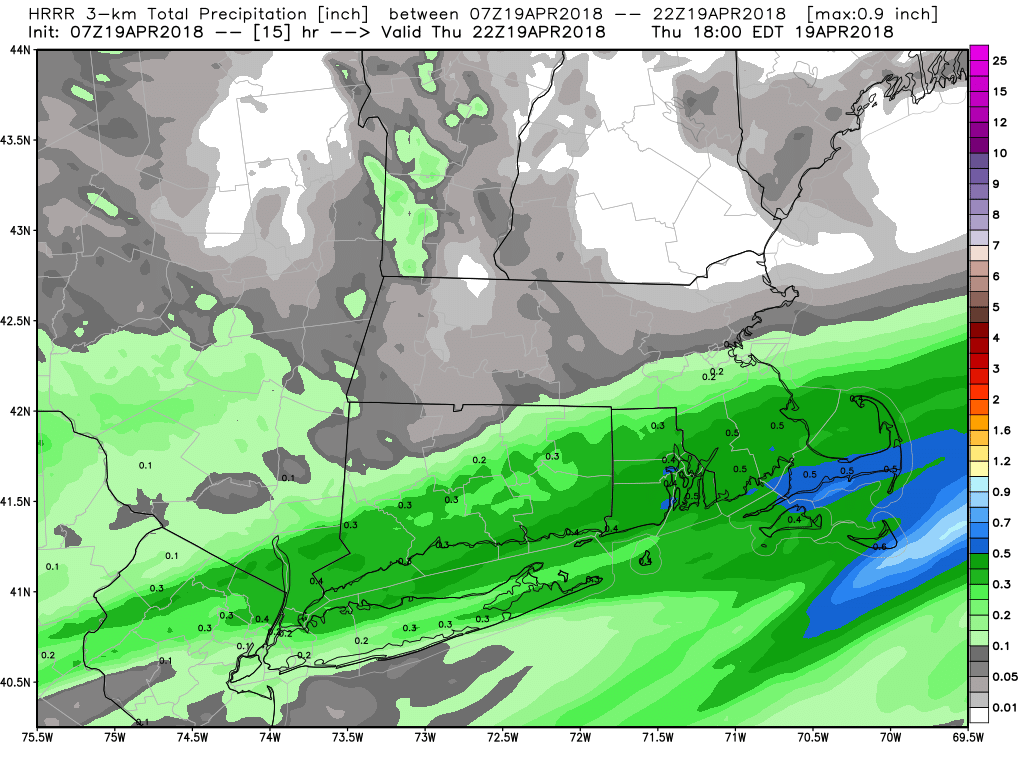
Temperatures today will be very chilly for this time of year. It will be nearly 15 degrees below average for much of this afternoon, with high temperatures only in the lower 40s. The amount of rain will be very light — nothing like we saw for the marathon. Precipitation in most areas will be between one- and three-tenths.
As the storm pulls away overnight there will be some clearing in the morning, but clouds will linger Friday. It's also going to be relatively cool, and with the lack of sunshine the day won't feel very spring-like. I can't rule out of shower, either.
Things improve as we head into the weekend. Sunshine returns for both Saturday and Sunday. Temperatures along the coastline Saturday will be near 50 and the islands will see get into the mid-50s over inland sections. Sunday looks milder with highs along the coast getting into the low or perhaps mid-50s. In inland areas, highs will approach 60 degrees.
It's going to be a great weekend to do some spring cleanup and simply enjoy the April weather.
You can follow my updates here and on Twitter @growingwisdom.
Thursday: A period of rain or mix north and west, may change to all snow at night. Highs 38-45.
Thursday Night: A few early showers, then cloudy. Lows 33-38.
Friday: Early snow and rain. Remaining mainly cloudy. Upper 40s in the afternoon.
Saturday: Partly sunny. Highs 50-55.
Sunday: Sunshine and milder. Highs 55-60.
Monday: Sunny. Highs 55-60.
