Advertisement
Forecast: Hot And Humid, With Thunderstorms For Tuesday
A very humid, tropical air mass will be in place through Tuesday. With highs in the 80s and dew-points in the upper 60s and low 70s, it will feel pretty uncomfortable for most folks early this week. The best chance for showers and thunderstorms will occur later Tuesday afternoon and evening when a cool front approaches from the west.
This front will pass Wednesday morning, ushering in much drier air for the
remainder of the week. Although temperatures will remain seasonably warm, humidity will be at comfortable levels through Friday.
The mugginess will begin to edge back in again Friday night, with the potential for
showers and thunderstorms by later Saturday.
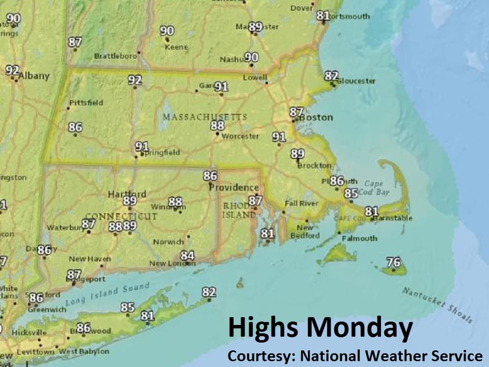
Monday: Patchy fog, then mostly sunny and warm with moderate humidity. High 87.
Monday Night: Partly cloudy, muggy. Low 68-72.
Tuesday: Partly sunny. Hazy, hot and quite humid. High 90. Evening showers/thunderstorms.
Wednesday: Showers ending early, then mostly sunny, turning less humid. High 83.
Thursday and Friday: Mostly sunny and dry. Highs mid-80. Humidity increasing
Friday night.