Advertisement
Forecast: Humidity, Showers Return On Sunday
High pressure will be right over southern New England through Friday. This means it will be pleasant with plenty of sunshine and comfortable humidity. But as they say, all good things must come to an end.
Our weather is no exception. As this high moves away Saturday, a storm will develop near Cape Hatteras. This low will track across the New York City area early Sunday and continue northward during the day. This will spread clouds and increasing humidity into the Boston area.
Although it appears the heavier rain will fall over New Jersey and eastern Pennsylvania, some showers should overspread the region on Sunday along with the risk for some thunderstorms later in the day.
The southerly flow of air will be the rule during the upcoming week. Expect intervals of clouds and sunshine with the risk for periods of showers and thunderstorms with the mostly likely times for rain during the afternoon and evening hours. Humidity levels will again return to uncomfortable levels.
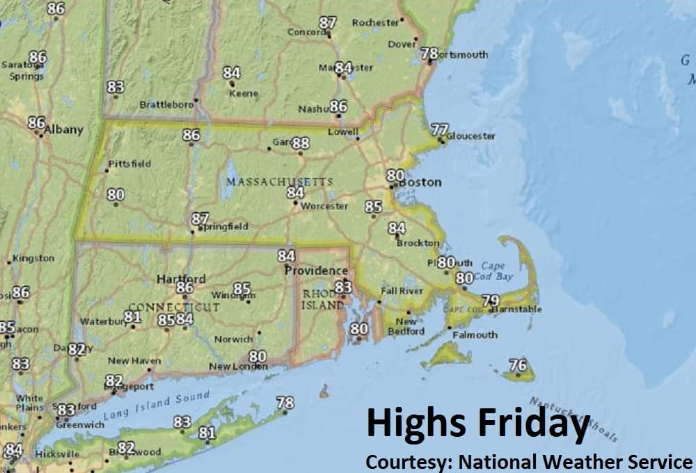
Friday: Mostly sunny, will continue to be dry. Highs near 80.
Friday Night: Mainly clear, some patchy fog toward daybreak. Lows 57-62.
Saturday: Partly sunny, a bit more humid. High 75. Few showers overnight.
Sunday: Mostly cloudy. Muggy, a few showers. A risk for late day thunderstorms. Highs 75-80.
Monday: Intervals of clouds and sun, humid. Scattered showers, chance for an afternoon thunderstorm. Highs 80-85.