Advertisement
Forecast: Wednesday Mostly Cloudy, Cooler
The rain and thunderstorm activity that moved through the Boston area early Tuesday has now pushed away. The moisture along the front was the remnants of Hurricane Florence.
Unrelated to the tropical storm circulation, one of the thunderstorms caused a microburst with straight-line winds of 70-75 mph in Saugus Wednesday morning, which knocked down trees and power lines.
Low pressure forming along this front in the Atlantic will keep a moist northeast wind across the region with lots of clouds, some fog and occasional drizzle through Thursday. But as winds turn more southwesterly and increase Friday, some sun will return and it will become a bit milder.
A more substantial cool front will pass later Friday night into early Saturday with the risk for a few showers followed by clearing skies and increasing sunshine over the weekend as a large area of high pressure builds in from the Great Lakes.
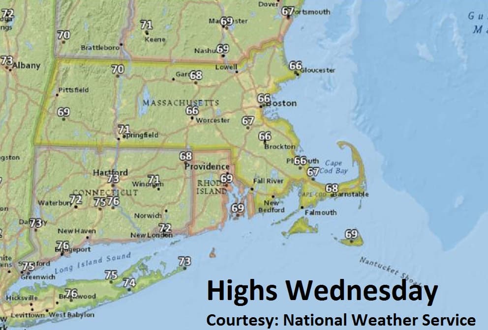
Wednesday: Early clouds and fog. Otherwise mostly cloudy and cool. High 66.
Wednesday Night: Mostly cloudy, patchy fog. Low 57.
Thursday: Mostly cloudy, cool. Highs in mid-60s.
Friday: Early clouds then partly sunny, breezy, milder. High 75. Few showers after midnight.
Saturday and Sunday: Mostly sunny. Highs from upper 60s to low 70s.