Advertisement
Forecast: More Summer Warmth Wednesday
Hurricane Michael continues to move steadily toward the Florida Panhandle and will cross land during the day today. The intensity of the storm means that the storm surge will reach 10 feet or higher in places and that level of water will inundate many low-lying communities. This is an extremely dangerous Category 4 storm.

The population in this part of Florida is lower than it would be in the major cities along the east and west coast, but there are still going to be lots of damaged and displaced individuals and families. Power outages will be widespread and freshwater and seawater flooding will both occur in this storm. You will see a lot of tree damage from the heavy winds.
Here in southern New England, the clouds and patchy fog this morning will give way to a blend of clouds and sunshine this afternoon. Temperatures will be far above average for the middle of October, reaching well into the 70s and lower 80s.
A cold front will move towards New England on Thursday and this will bring an increasingly high chance of rain during the day. With all the moisture in the air some of the rain could be heavy at times and we could see more than an inch of water. This rainfall is not related to Hurricane Michael, which will be just a tropical system by that time. I actually expect the rainfall from that storm to stay out to sea, although it could clip Nantucket Friday.
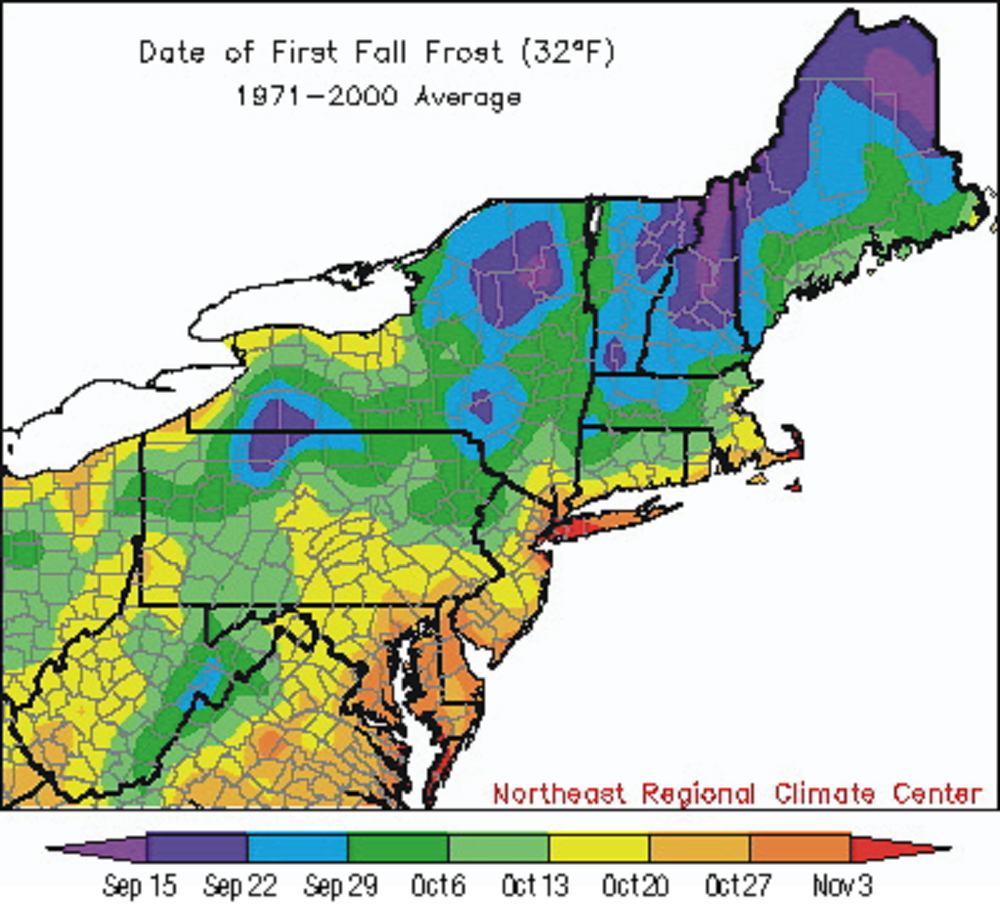
After this cold front passes, temperatures will fall to chilly levels and we may see the first frost for some of the suburbs on Sunday morning.
You can follow my updates here and on Twitter @growingwisdom.
Wednesday: Patchy fog early, otherwise, partly to at times mostly sunny, with a high near 80.
Wednesday Night: Some clouds, muggy and mild. Lows 63-67.
Thursday: A chance of showers during the morning, then showers likely and possibly a thunderstorm. Highs in the lower 70s.
Friday: Partly sunny, with a high near 65.
Saturday and Sunday: Cooler with sunshine and clouds. Highs in the 50s.
