Advertisement
Forecast: Brief Shot Of Wintry Air This Weekend
December 2015 is likely going to end up as the warmest on record here in southern New England, unless there is a dramatic pattern shift over the next week.
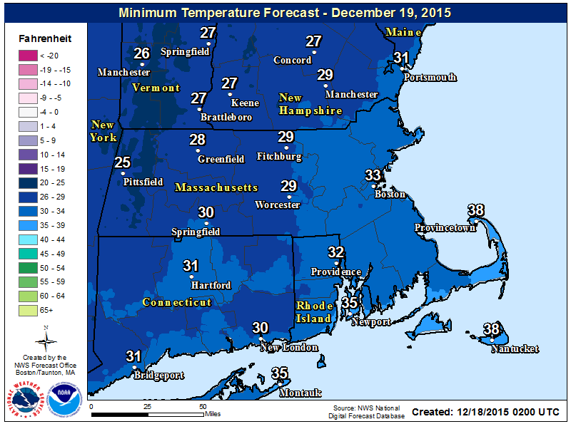
Another amazing statistic is Boston has only reached freezing on one night this month, and hasn’t gone lower. I do think that could change this weekend, but then it’s a quick return to a mild and eventually wet pattern later next week.
We also have an increasingly high likelihood of ending the month without any snow on the ground or having been measured.
As our recent storm leaves Friday, a blast of cold air will arrive for the weekend. Saturday looks especially cold with highs in the 30s. As the colder air arrives there might be a few snow showers and even some squalls in the higher terrain. I could see the ground becoming white briefly along the border between Vermont and Massachusetts, but nothing like that close to the coast.
The weather turns milder again on Sunday with seasonable highs in the lower to mid 40s. It’s back to the 50s by Monday, and we will remain there for the rest of the week. The core of the warmth should arrive for Christmas Eve with record breaking highs possible.
You can follow David's weather updates on Twitter @growingwisdom.
Today: Lots of clouds and a chance of light showers. Highs near 50.
Tonight: Partly cloudy with a chance of a late night flurry. Lows in the 30s.
Saturday: Becoming sunny, blustery and cold. Highs only in the upper 30s.
Sunday: Sunny, with a high of 40-45.
Monday: Mostly cloudy, with a high near 51.
Tuesday: Mild with clouds and some morning sunshine. Showers by the end of the day. Highs 50-55.
