Advertisement
Forecast: Hermine To Impact Part Of The Holiday Weekend
Hurricane Hermine came onshore in Florida last night, the first hurricane to hit that state since Wilma in October 2005. That's the longest period without a hurricane in that state in modern times.
Now the storm is headed for the southeastern coastal waters, where it will emerge as a shadow of its former strength but then possibly regain some renewed energy before heading north.
In a typical year this storm would make its way up the coastline and present a threat to the entire New England coast, but this hasn't been a typical year. For the entire summer areas of high pressure have kept rain at bay and again this morning there is a real possibility much of the area won't see much rain or wind from Hermine at all.
The best weather this weekend is going to occur on Saturday. It will be the day with the most sunshine and the best day to get to the beaches, lakes or play some outdoor sports. Sunday the weather goes downhill as Hermine moves slowly closer.
There is still plenty of question about exactly how strong the storm will be later this weekend and where the rain and wind shield will set up. Those residents along the mid-Atlantic coastline will certainly have the worst weather, but across our south coast and Cape Cod there is certainly the possibility for beach erosion and some coastal flooding.
I continue to think at the worst this will be nothing more than what a moderate to strong nor'easter would be like in the middle of winter, without snow of course. There's a better chance we just see some rough seas and a few showers. For the drought, this would be horrible. We need the rain.
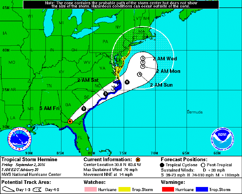
The system is going to be slowed dramatically by high pressure to our north. This will cause Hermine to stall and spin for a while. Eventually next week the storm will move east and we will be left with more dry and unseasonably warm weather.
Today: Sunny and pleasant. Low levels of humidity. Highs in the 70s.
Tonight: Mainly clear, great sleeping weather. Lows in the 50s to lower 60s
Saturday: Sunny, with a high in the mid 70s. Some high clouds south of Boston.
Sunday: Partly sunny, some showers possible over the south coast in the afternoon. A high of 72-78, but a change in the track of the tropical system could change this forecast dramatically.
Monday: Cloudy with scattered showers and possible downpours especially before noon. Highs in the upper 60s to mid 70s. Tropical storm Hermine's track will further impact this part of the forecast.
Tuesday: Cloudy, then becoming partly sunny. Highs in the 70s.
