Advertisement
Forecast: Cloudy Today, Colder Air For The Weekend
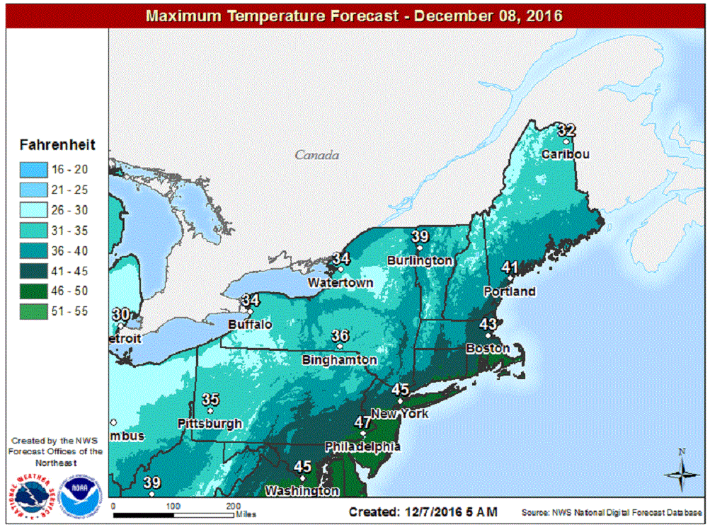
By the time you read this, the rain will have all but ended across the area, with cloudy skies the rule for today.
There was some snow over the higher elevations of Worcester county this morning and in northern New England, but the snowfall wasn't a big deal.
December 2015, a year ago, was the mildest December on record. I've known for a long time this December would be nothing like last year, and it's proving to be correct, especially in terms of temperature. It's going to be seasonably chilly the next two days — but then it gets cold.
The coldest air of the month, so far, comes this weekend. Temperatures will be more typical of early January. A strong cold front is going to usher in this arctic air on Thursday night, and temperatures Friday through the weekend will run below seasonal averages.
The cold air will play a role in a potential weather-maker late in the weekend and early next week. If the cold air can hang on long enough many inland areas will likely see some snow again to end the weekend or start the new work week. This doesn't appear to be a major storm, but once again a reminder we are now getting into a winter pattern.
If we think of the arctic air coming this weekend as one outbreak of cold, I see two more after that before Christmas. In other words, the pattern is becoming established for continued shots of cold air and not many of days of warmth between.
How much snow falls during this time is questionable. The track of each weather system, the amount of cold air in place and the amount of warm air during a storm all help determine our precipitation type. It's difficult enough to figure these things out a day or two before many storms, so I am not going to try to answer this question about what's coming in five days, but suffice to say the pattern remains active.
You can follow my weather updates on Twitter at @growingwisdom.
Wednesday: Any precipitation ends early this morning. Remaining mainly cloudy. Highs in the lower 40s.
Wednesday Night: Lots of clouds, lows 28-34
Thursday: Clouds and a few sunny breaks. Highs in the low to mid-40s.
Friday: A mix of clouds and sunshine. Highs in the upper 30s.
Saturday: Sun and clouds, cold. Highs remaining just below the freezing mark in most areas.
Sunday: Mainly sunny, highs in the lower to middle 30s.
Monday: A chance of rain or snow. Highs in the upper 30s
