Advertisement
Forecast: Mild Weekend Ahead Before Storm Moves In Early Next Week
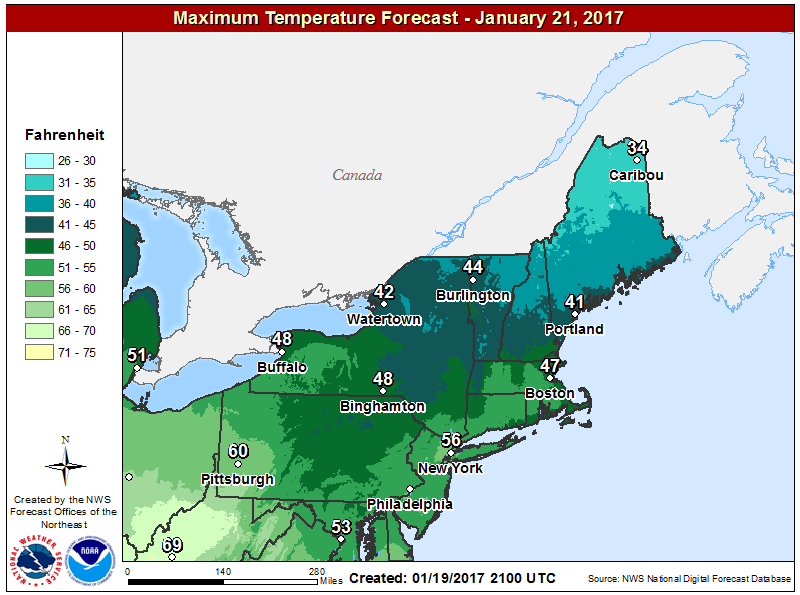
Friday is a very tranquil day, with a blend of clouds and sunshine and temperatures in the 40s. All in all a nice January day.
While there won't be a ton of sunshine Saturday, temperatures will exceed January normals by quite a large amount. Highs will be in the 40s the next couple of days and I can't rule out 50 degrees Saturday.
Sunday is also a dry day with clouds and sunshine and slightly cooler air, but still above normal. A nor'easter is brewing for late Sunday or Monday. Of course there is a Patriots game Sunday night, and if the storm speeds up a bit it's not out of the realm of possibility we see some showers late in the game. I am not ready to commit to this yet, but it's something to watch.
The storm is going to be big and have a lot of moisture. I am frankly concerned about enough cold air making it into the storm to bring snow to parts of central Massachusetts. The rain-snow line is critical because in those areas where snow falls, this is going to be a big storm.
This nor'easter is also going to be a relatively slow mover. Precipitation begins late Sunday night or early Monday and can last into Tuesday. Where it's all rain, over an inch is likely. This helps the drought, which is still in place.
As the storm moves into the Canadian Maritimes later Tuesday the rain will end. Behind this storm there isn't a lot of cold air at first, so the end of the work week continues mild. There are some signs of colder weather for the close of January and the start of February, but nothing too extreme at the moment.
You can follow David's weather updates on Twitter at @growingwisdom
Friday: Partly sunny and mild. Highs in the lower to mid 40s.
Friday Night: Partly cloudy. Lows just under freezing.
Saturday: Blend of clouds and some sun, still no cold air. Highs in the mid to upper 40s.
Sunday: Sun and clouds, cooler. Highs approaching 40. Rain possible in the evening.
Monday: Rain developing, might be a mixture inland. Highs 35-40.
Tuesday: Rainy and raw, may be some snow or mix inland. Highs 34-43.
