Advertisement
Forecast: Nice Weekend Ahead In Boston; Plus, Updates On 'Catastrophic' Irma As It Moves Toward Florida
I was very happy to find over 1.3 inches of rain was measured by the gauge this morning. This means we have plenty of moisture now in the ground when the weather turns sunny later today. It had become quite dry and the wetness in the ground lasts longer this time of year with the lower sun angle.
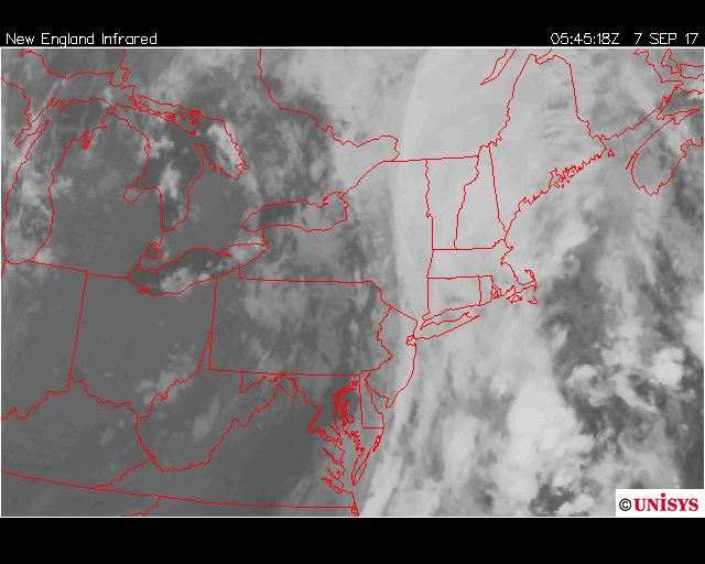
Already this morning we notice the clearing line moving east. The loop from early today shows a sharp line of clouds with the back edge holding the thickest clouds approaching the coastline.
Cooler Canadian air arrives for the rest of today and into the weekend. The only weather issue will be the chance of a pop-up shower Saturday afternoon as a small disturbance in the atmosphere pushes east.
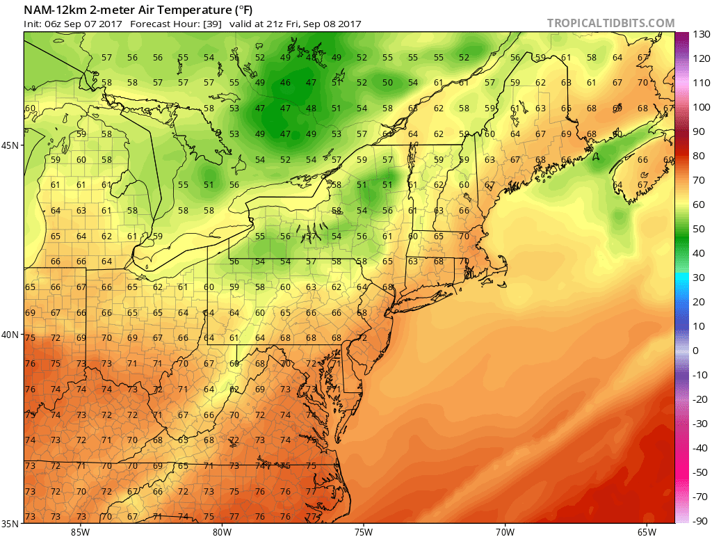
Temperatures today will reach around 70 to 75 degrees. This is on the cooler side of the average curve, but pretty close to average for this time of year. The same temperatures occur Friday, but highs will be cooler — in the upper 60s to low 70s — over the weekend.
Irma Continues To Be Catastrophic Storm
Hurricane Irma hasn't changed much overnight at it moves west and northwest toward the Bahamas and eventually Florida.
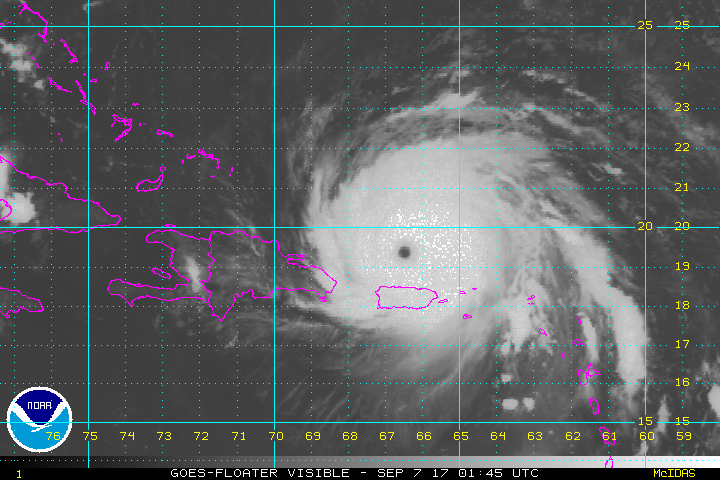
The official track of the storm takes it up to Florida and parallel to the coast. It may or may not come onshore along the coast before reaching Georgia or the Carolinas.
Where the eye reached onshore is where the worst of the wind and storm surge will occur. If the eye did reach the Miami metropolitan area it would the worst-case situation for the concentrated population in that area, especially the elderly.

If you are wondering if Irma will come to New England the answer is basically no. The storm will likely spin itself to death inland over the southern part of the U.S. and any clouds and showers that did make it here next week would be insignificant.
You can follow my updates here and on Twitter @growingwisdom.
Thursday: Clearing developing. Sunshine takes over. Highs in the lower 70s. It's still damp early before things dry out.
Friday: Partly to mostly sunny and seasonably cool. Highs in the lower to mid-70s.
Saturday: Mainly sunny, but there could be a pop-up shower in the mid- to late afternoon with highs in the lower 70s.
Sunday: Lots of sunshine. Highs 68-72.
Monday: Sunny and mild. Highs in the mid-70s.
