Advertisement
Forecast: A Mild Thursday And Friday, But Extreme Changes Saturday
Temperatures this morning are once again quite chilly with readings in the upper 20s and lower 30s. The day will feature a blend of clouds and sunshine,but I'm also expecting a slight chance for a couple of afternoon showers. This afternoon's highs reach the 50s.
Tomorrow is a very mild day compared to what we've seen the first part of this month. Readings will get well into the 50s on Cape Cod and even mid to upper 60s inland.
Saturday is a very interesting day meteorologically. There's going to be what we call a backdoor cold front slipping down from Maine, and this is going to push that warm air that will be over us on Friday far to the south.
Temperatures will be as cool as the mid-40s on the northern side of the front and it's warm as the mid to upper 70s on the southern side of the front. You should prepare for rapid changes during the afternoon.
The exact time of the frontal passage will determine just how warm your area becomes. Places like Portsmouth, New Hampshire, down to Newburyport may never get out of the lower 50s. But Boston could warm up to the upper 50s and low 60s. Areas around MetroWest like Natick through Worcester could get into the 70s before the front passes through.
Once we're on the cold side of the front, temperatures will continue to fall and it will be in the 30s Saturday night and Sunday morning. Sunday brings a lot of clouds and a few showers to the area.
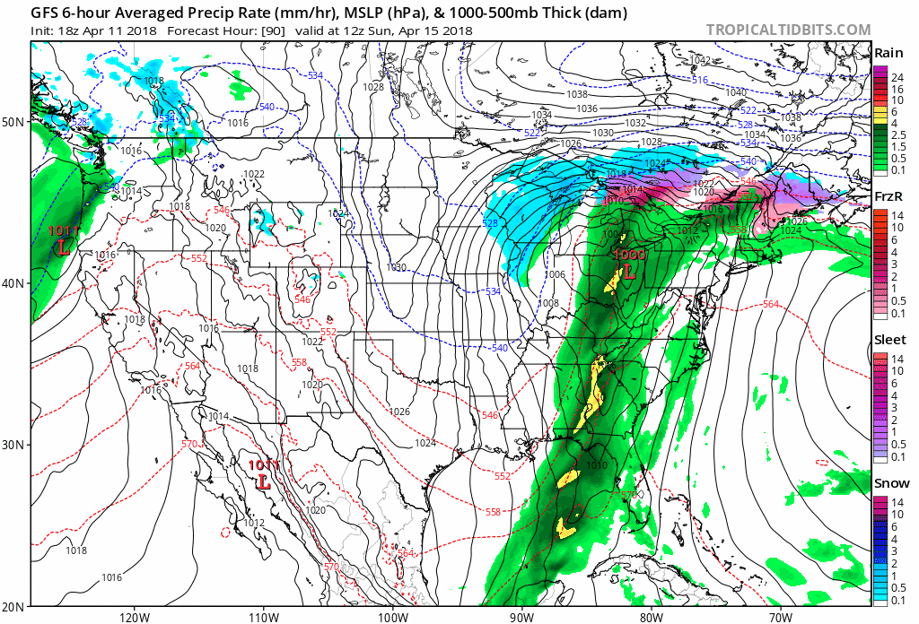
On Marathon Monday, a low pressure system will move to our west and drag an area of rain through the region. It will start out quite chilly in the morning but then end up fairly mild in the afternoon. The Red Sox game could be postponed and the marathon will be a wet one.
Temperatures look cool Tuesday next week after the Monday storm, but then moderate.
You can follow my updates here and on Twitter @growingwisdom.
Thursday: Partly cloudy late day showers. Highs 53-62. Coolest Cape Cod.
Thursday Night: Some clouds. Lows near 50.
Friday: Sunshine and clouds, milder. 58-67.
Saturday: Partly sunny. Highs in the 50s along the coast from Boston north, but 60s to mid-70s west of I-495. Temperatures fall in the afternoon.
Sunday: Clouds, some sun, may shower. Very chilly. Highs 38-44.
Monday: Periods of rain. Cool morning, warming in the afternoon. Highs into the 50s.
