Advertisement
Forecast: One More Storm Before Things Improve
It won't be 60 degrees this afternoon, but with the sunshine, lack of rain and temperatures in the lower 50s, it will feel more like spring.
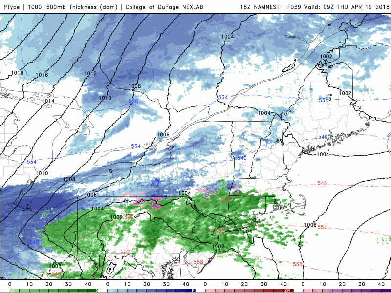
But temperatures tomorrow will be nearly 10 degrees colder, along with cloudy skies, periods of rain and even some wet snowflakes mixed in at times. I do think this may be the final system in this long series of weather events which has been going on for the past six weeks. Very often weather patterns last about six weeks before they break. An example of this would be the heavy snow that we saw in late January all the way through February of 2015. That's six weeks. Then it ended and the snow basically stopped.
Starting this weekend, we will see more in the way of sunshine and a moderation in temperatures. It won't be beach weather next week, but temperatures will get into the 60s inland and near 60 along the coastline for several days. This will continue the greening of the earth, with many magnolias flowering in earnest over the next five days.
The warm weather will also give us a chance to dry out a bit, as the ground is quite wet. It would not be a bad idea to put down your fertilizer today or very early tomorrow morning just before the upcoming rain as it does look dry for many days there after.
You can follow my updates here and on Twitter @growingwisdom.
Wednesday: Sun and clouds. Lower to mid-50s.
Thursday: A period of rain or mix north and west, may change to all snow at night. Highs 38-45.
Friday: Early snow and rain. Remaining mainly cloudy. Upper 40s in the afternoon.
Saturday: Partly sunny. Highs 50-55.
Sunday: Sunshine and milder. Highs 55-60.
