Advertisement
Forecast: Pretty Close To Perfection In May
Yesterday the weather was just stunning after the fog burned away. We will see another repeat of the same forecast for today with sunshine and pleasant temperatures. Any fog this morning will dissipate quite quickly.
High pressure remains in control across the region. This will keep any rainfall and even clouds from reaching New England for several days. In terms of nice weather it doesn't get any better than this in the middle of May.
A cold front will cross the region Thursday night and bring some cloudiness. Any shower activity should remain over western New England and I don't think it will make it into the Boston area. That will give us a couple of nice seasonably cool days for Friday and Saturday. That same front will then move north as a warm front Saturday night and Sunday. This brings the chance for a few showers.
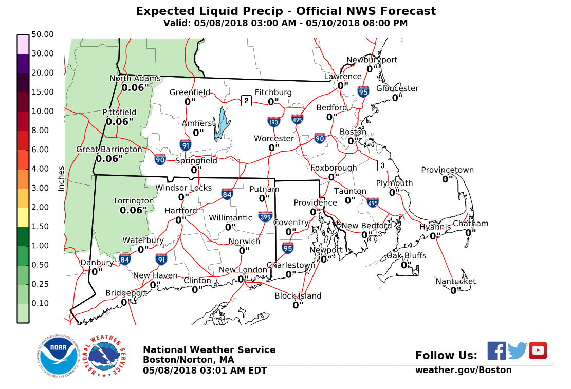
The placement of the front will determine whether we stay in the 70s late this weekend or early next week or see a surge of summer weather for a couple of days. This will be the forecast challenge heading into Mother's Day weekend.
You can follow my updates here and on Twitter @growingwisdom.
Tuesday: Early clouds/fog. Partly sunny and seasonably cool. Highs near 70, but 60s at the coast.
Tuesday Night: Mainly clear and cool. Lows in the 40s.
Wednesday: Sunny and pleasant. Highs 65-72. Cooler Cape Ann/Cape Cod.
Thursday: Sun and clouds. Highs 70-75. Cooler Cape Ann/Cape Cod.
Friday: Partly to mostly sunny. Highs in the mid to upper 60s.
Saturday: Sun and clouds. Highs in the lower 70s.
