Advertisement
Forecast: Thunderstorms Likely Later Today
Yesterday was a transitional day between cool air and warm air. This morning we find higher dew points, meaning more moisture in the air. It’s also going to be warmer today and will likely be the warmest day this week.
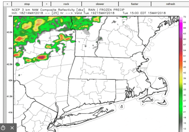
The summer-like feel to the day won’t last very long. Already we see a cold front pushing east towards the coastline. I expect this front to be off the coast late this evening. The front will push and lift the warm air ahead of it, creating showers and storms this afternoon.
This isn’t a totally classic severe weather day, but it is a day when there could be strong to severe thunderstorms. The most likely time of these storms would be after 2 p.m. and continuing through the middle part of the evening. The greatest threats will be from heavy rain and gusty winds and the highest risk west of I-495.
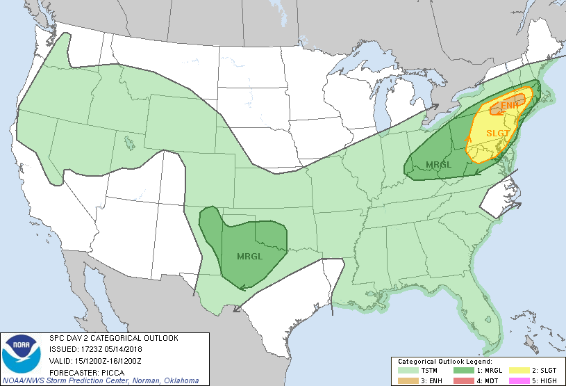
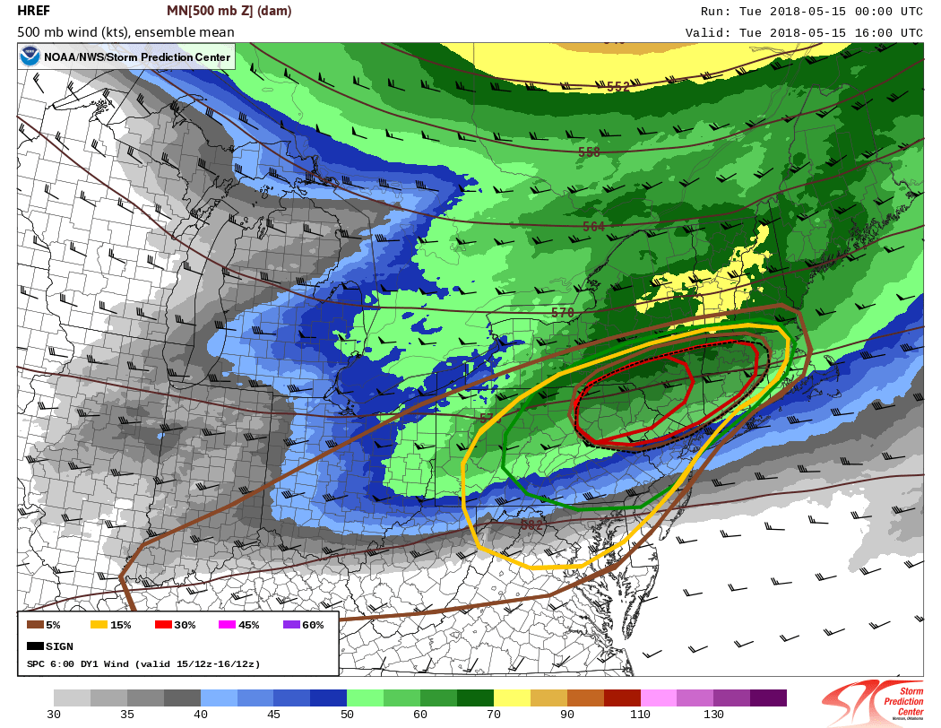
There is the risk of hail and even a tornado over central and western New England and back through New York and Pennsylvania. The map below shows the chances of these types of phenomena highest in the red areas.
Better Wednesday
As the front heads south of New England, the showers and thunderstorms will come to an end. The boundary between cooler air and warm air will remain close enough that I think clouds are going to rule during the day on Wednesday. The thickest clouds will be over Cape Cod and the south coast; the brightest skies will be north of the Mass. Pike.
Thursday we make it into the warmer air with temperatures once again returning to the 70s, but then another wave on this front should bring some rain late Friday and especially on Saturday. We'll have to wait and see if the system clears out for Sunday or if we have a weekend which features damp weather on both days. More tomorrow on the weekend outlook.
You can follow my updates here and on Twitter @growingwisdom.
Tuesday: Clouds and some sun. Afternoon showers and storms. Warm and muggy. Highs 78-84. Some storms could contain gusty winds and heavy rain.
Tuesday Night: Showers and storms ending then cloudy. Turning cool. Lows 50-55.
Wednesday: Early showers. Clouds and some sunny breaks north. Highs 57-64.
Thursday: Sun and clouds. Highs 75-80. Cooler Cape Ann/Cape Cod.
Friday: Clouds, some sun, a shower. Highs 60-65.
Saturday: Showers. Highs in the 60s.
