Advertisement
Today's Weather: Back To January Temperatures
That was some pretty wild weather yesterday, with temperatures getting well into the 50s and winds that reached hurricane strength on top of Blue Hill. The wind gusts up there reached 80 mph.
Today, we are looking at a few clouds increasing. As a weak system approaches from the west, there may be a couple of snow flurries. Temperatures will be 20 degrees cooler than yesterday and any of the water that was standing last night has probably refrozen.
The weather looks fairly tranquil through the weekend. The chilliest air is on Saturday. Sunday's temperatures rebound.
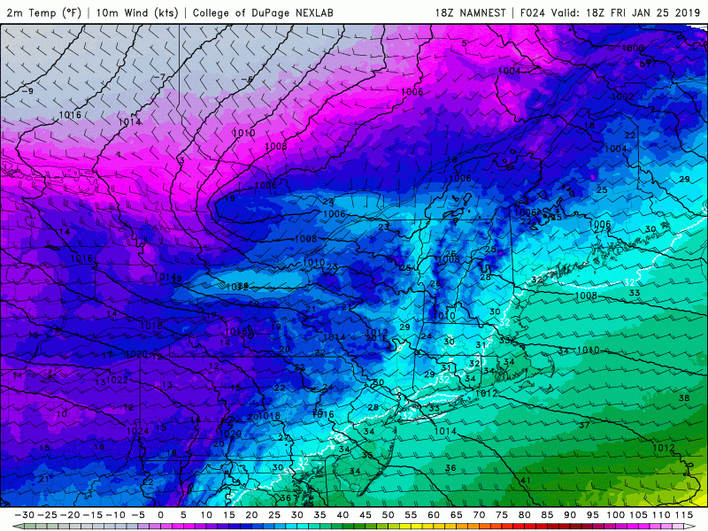
Early next week, another weather system is going to bring more precipitation. This is likely going to be in the form of rain as temperatures will be too warm for snow. Behind this weather system another Arctic air mass will swing through the area after hitting the Midwest. You're likely to hear about how cold places like Chicago and Detroit are going to be and some of that air is headed for New England. We may be as cold than the last Arctic outbreak.
We'll have to see just how long the Arctic air remains in place.
You can follow my updates here and on Twitter @growingwisdom.
Thursday: Showers and mild. Highs in the 40s to mid-50s. Winds will be strong at the coast and could cause some scattered damage.
Friday Night: An early flurry then mainly clear. Lows in the teens.
Friday: Sun and clouds. Highs in the mid-30s.
Saturday: Chilly with lots of sunshine. Highs in the 20s.
Sunday: Sun and some clouds. Highs 36-42.
Monday: Partly sunny. Highs 34-39.
Tuesday: Snow and rain. Highs in the mid to upper 30s.
