Advertisement
Today's Weather: Bright Sunshine On A Snowy Landscape
Yesterday's snow is over, but today's lingering effect will be how bright it is. Plenty of sunshine will grace the region throughout the day and temperatures will only reach near 30. In spite of the cold air, you'll notice snow beginning to melt across south-facing slopes.
Boston got over 3 inches of snow yesterday for the largest storm so far this winter. We now have about a 36-hour break until the next round of precipitation moves into the region.
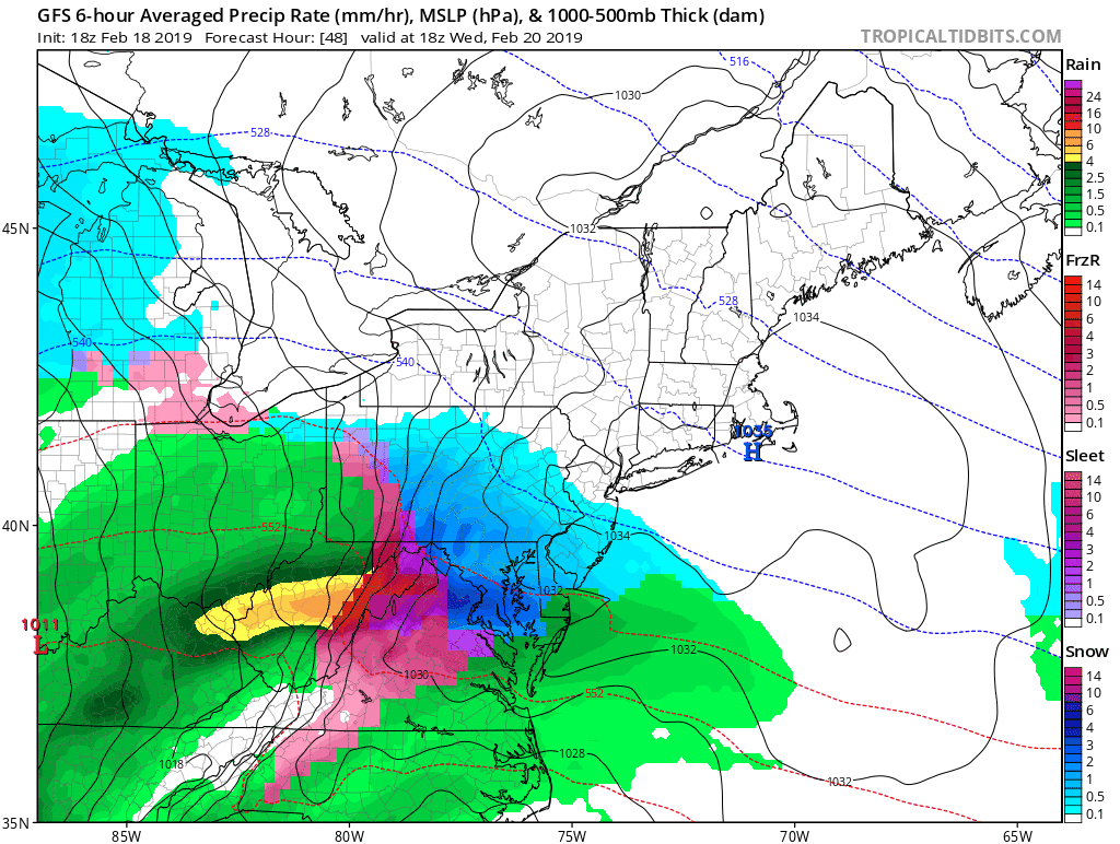
The next storm will be a messy one, with snow changing over to a mixed bag Wednesday night and early Thursday. It looks as though temperatures will warm into the 40s, so after an initial coating of snow to an inch or maybe two, everything should start to wash away.
The timing of the changeover will affect how messy the morning commute will be Thursday. The most likely areas to still have some residual frozen precipitation will be west of Route 495. There will be another break with dry weather returning for Friday
More storminess arrives for the second half of the weekend with the mixed precipitation changing over to rain once again. Temperatures look to be seasonably cool or mild, depending on your perspective, but the bottom line is that there isn't any Arctic air.
You can follow my updates here and on Twitter @growingwisdom.
Tuesday: Sun and clouds. Highs nearing 30.
Tuesday night: Clear and cold. Lows 8-16.
Wednesday: Partly sunny and chilly. Highs near 30.
Thursday: A mixed bag of precipitation after overnight snow. Highs in the 30s to lower 40s.
Friday: Sun and clouds. Highs near 40.
Saturday: Mainly sunny. Highs 40-45.
