Advertisement
Forecast: Colder Air Headed Our Way
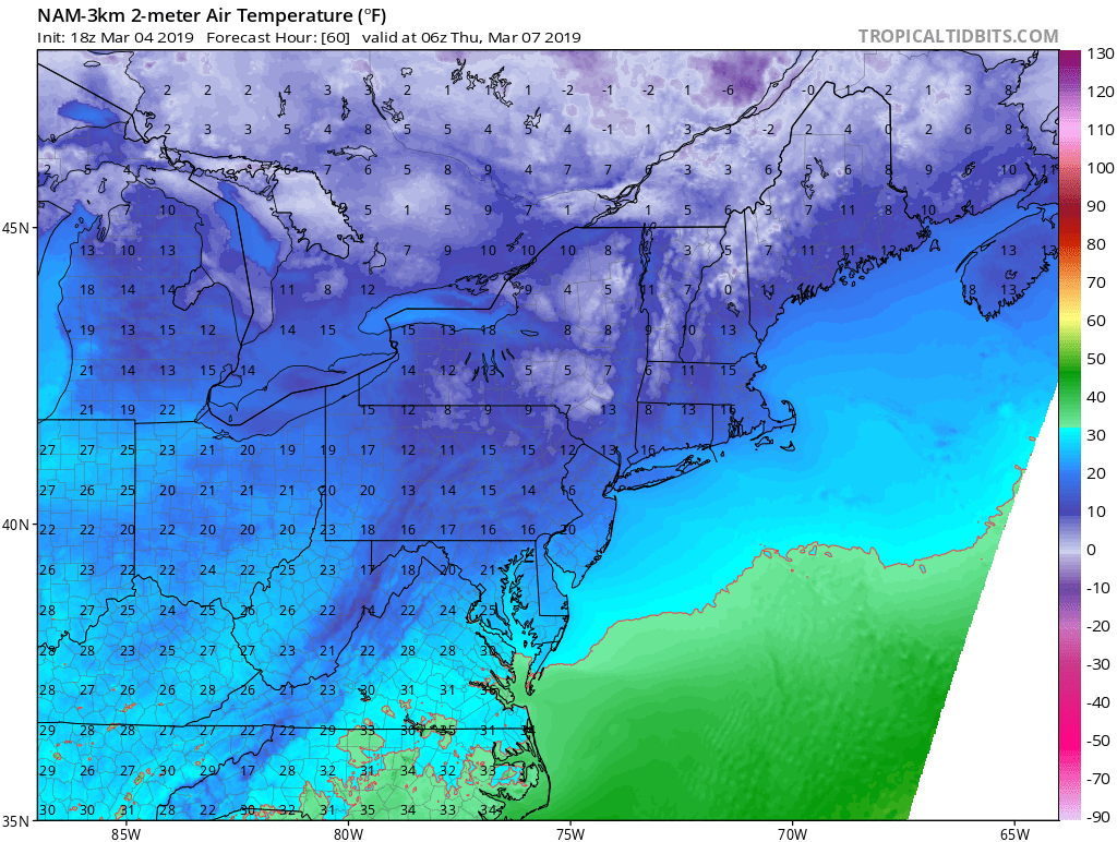
The snow of yesterday is long over and this morning we're looking at sunshine mixed with some cloudiness. Later this afternoon, an Arctic front will approach the area and this will usher in much colder air for the middle of the week. It looks as though temperatures will be some 10 to 15 degrees below average on Wednesday and Thursday.
Typical temperatures this time of the year would be in the lower 40s but we won't even get into the lower 30s. Readings will go back up for the end of the week, but it will still be chilly.
A new storm system will approach the region for Sunday with a chance for some shower activity. Right now it looks as though it will be too warm for any wintry precipitation.
Into next week, temperatures will be seasonable or perhaps even above-average, with readings getting into the 50s at least one or two days. This should start to really melt the snow.
Although the ground is covered with snow across the region, frost levels are not very deep and I expect as soon as the snow melts you're going to see quite a bit of early flowers. It will not be long before the buds start opening up on some of the earliest trees. Spring is two steps forward and one step back.
You can follow my updates here and on Twitter @growingwisdom.
Tuesday: Partly to mostly sunny and cold. Highs under 30.
Tuesday Night: An early snow flurry otherwise brisk and cold. Lows 10-18.
Wednesday and Thursday. Mainly sunny. Highs in the mid-20s.
Friday: Sunny. Highs around 30.
Saturday: Sun and clouds. Highs 33-38.
