Advertisement
Weekend Weather: Snow Back In The Forecast, But No Big Deal
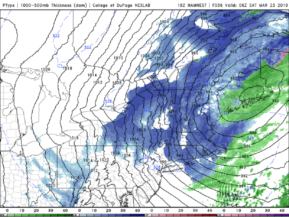
There are actually snow showers in the forecast and it shouldn't surprise anyone that there is likely some light accumulation when you get up tomorrow morning. The second half of March often still produces a little bit of snow, although I suspect that this could be the last time any of us see any accumulation for the season.
Tomorrow is also a blustery and cold day with temperatures only in the mid-40s. This is the time of year where you are likely going to want to start getting outside so Saturday is your day to do indoor activities because Sunday looks like a winner. I expect temperatures to be in the mid-50s on Sunday and a few spots will even touch 60, along with plenty of sunshine. Low pressure passes south of New England on Monday bringing the chance for a couple of showers south of Boston, but a lot of clouds for all of us.
It's chilly for Tuesday and Wednesday next week but a moderating trend does take place towards the end of the week.
You can follow my updates here and on Twitter @growingwisdom.
Friday: Clouds with any showers ending. Highs 45-50 and becoming blustery.
Friday Night: Rain and snow showers. A coating to 1 inch possible by morning. Lows 33-39.
Saturday: Early snow showers, blustery and cold. Highs in the mid-40s.
Sunday: Mainly sunny and milder. Highs 55-60.
Monday: Clouds, may shower. Chilly. Highs 45-50.
Tuesday: Sunshine and clouds and quite cool. Highs 35-40.
