Advertisement
Today's Weather: Mostly Cloudly, Damp Weather Sets Tone For The Week
High pressure, which gave us a spectacular Memorial Day, will be sliding east today. Taking its place is a storm heading in from the northeast that will track to near New York City Tuesday night, and then off the coast of Cape Cod Wednesday morning.
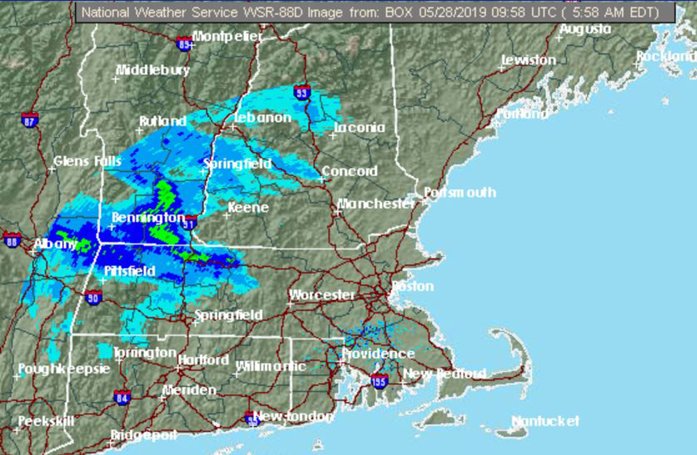
This storm track will keep the warm, humid air across the mid-Atlantic states and the cooler, rainy weather over the Boston area. In fact, temperatures will stay mostly in the 50s through Thursday, with overnight lows dipping to the upper 40s in a few normally colder spots.
Another wave of low pressure will skirt the southern New England coast Thursday night, bringing a second round of rain.
Clearing will rapidly take place by Friday afternoon and with a return to sunshine, temperatures should rise back to the 70s.
Tuesday: Mostly cloudy and cool, rain developing. High 58.
Tuesday night: Rain before midnight, then staying cloudy. Low 52.
Wednesday: Mostly cloudy, chance for a shower or 2 at night. High near 60.
Thursday: Mostly cloudy. Rain overnight. High 60.
Friday: Morning clouds then clearing and breezy. High: 73.
Saturday: Mostly sunny, pleasant. High 73.
Meteorologist: Dave Goldbaum for Dave Epstein.