Advertisement
Today's Weather: Dry Start, Wet Finish, With Overnight Snow Showers Possible
Today will be a transition day between seasonable air and below average temperatures. This morning, we are watching a frontal system draped across southern Canada move south through Pennsylvania.
As this front approaches, clouds will tend to thicken up and there is the likelihood for some rain by the end of the day. With the sun going down around 4:30 p.m. and the thick cloud cover and the rain, it's likely going to be a slow ride home this evening, so plan accordingly. The good news is, there's not going to be any snow during that time.
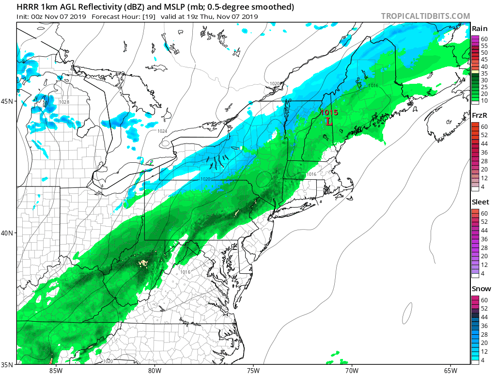
Temperatures during the day will make it into the low or perhaps mid-50s, then start to fall back into the 40s with the wet weather. As we head into the night, at the very end of the rain showers, there might be a brief snow shower or two.
There could be scattered coatings of snow on some grass north and west of Route 495 and especially north of Route 2. Further, it wouldn't surprise me if a couple of the hilly spots ended up with an inch toward southern New Hampshire.
Friday will be a blustery and cold day, with temperatures remaining in the 30s much of the day. Even if we do touch 40 degrees, it would only be for a couple of hours. Friday night will be cold. Readings will fall down into the 20s and the ground will freeze solid, at least to a shallow depth. There may even be some ice on very small ponds in the morning.
Temperatures will rebound towards 40 degrees Saturday afternoon and with light winds, that won't feel terribly cold after the wintry beginning to the day. Another blast of cold air is on the horizon for the middle or end of next week. The precursor to this looks to be a mixed bag of precipitation across New England, which I'll talk more about in the coming days.
You can follow my updates here and on Twitter @growingwisdom.
Thursday: Clouds, some sun, a few showers later in the day. Highs 50-55.
Thursday Night: Rain tapering to showers. May end as a snow shower. Little or no accumulation. Low in the 30s.
Friday: Cold with sun and clouds. Highs in the upper 30s to near 40.
Saturday: Lots of sunshine. Highs approaching 39.
Sunday: Generally sunny. Highs within a few degrees of 50.
Monday: Partly sunny, may shower later in the day. Highs in the 40s.
Tuesday: Clouding up. Rain or snow possible. Highs 35-45.
