Advertisement
Today's Weather: The Warmest Day We'll Have For A While
We will get back to sunshine today and temperatures will be 15 degrees above average as it approaches 50 this afternoon. This is definitely the nicest day of the next week or so, as we start to enter a colder pattern.
I'm looking at more days where the temperature is below average, compared to above, as we head through the rest of the month. This doesn't mean that every day will be bitter cold, but we're going to see more cold than we've been used to the first half of the winter.
Tonight, a weather system approaches the region and brings a few rain showers, with snow to the north. If you are headed to northern New England, be aware that there will be several inches of snow and up to half a foot of accumulation across ski areas. The snow will last much longer in Maine — basically all day tomorrow — while here in southern New England, we will see a return to a blend of clouds, sunshine and blustery conditions.
The air will start to feel quite cold Thursday night, and by Friday, Arctic air will entrench us. This means temperatures will only be in the 20s for afternoon highs and wind chills Friday morning will be within several degrees of zero.
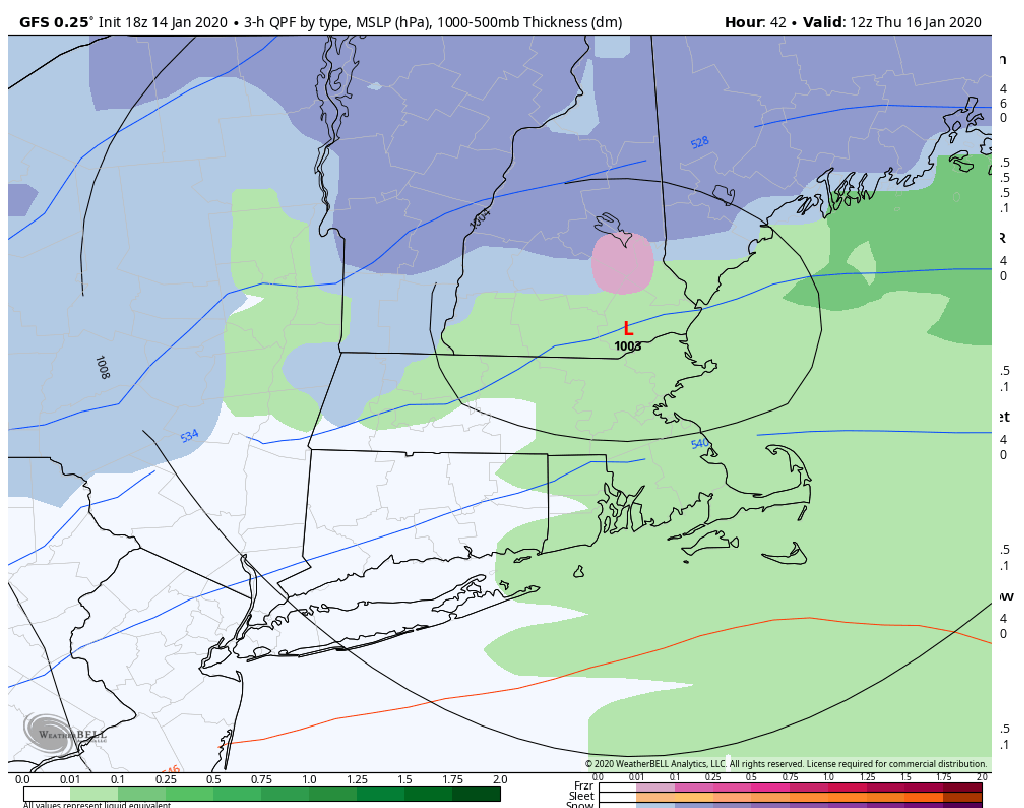
The next storm system looks like it will be a snow to rain situation. The best chance to see accumulating snow will be away from the coastline, although all areas could see measurable snow before the change. It's only Wednesday and a lot can change, so I don't want to stop watching numbers for the snowfall, but it does not look like a major event here in Southern New England.
You can follow my updates here and on Twitter @growingwisdom.
Wednesday: Developing sunshine and a few clouds. Unseasonably mild. Highs 46-52.
Wednesday night: Clouds, a couple of rain showers or snow showers late at night. Little or no accumulation. Lows 33-37.
Thursday: Many clouds. A few rain or snow showers possible. Highs 38-43.
Friday: Partly sunny and cold. Highs 23-29.
Saturday: Snow, may change to rain. Highs in the 30s.
Sunday: Leftover snow or rain showers. Then partly sunny and blustery. Highs in the 30s.
Monday: Mostly sunny, mid-20s.
