Advertisement
Today's Weather: Dry Weather, Typical January Temps Continue
High pressure has been keeping the weather very tranquil the past several days, and we still have another three days of dry conditions. This is a large, sprawling weather system and has prevented storms from affecting not only New England, but most of the eastern half of the country.
The dry pattern will come to an end this weekend, as a complicated area of low pressure pushes into the region. This storm has the potential to be a long-duration precipitation event, with multiple types of precipitation.
Since things won't turn rainy or snowy until sometime Saturday, there's plenty of time to evaluate who's going to get what form of precipitation — and how much. But by Saturday afternoon and evening, many areas will be receiving rain, and some will start to see snow.
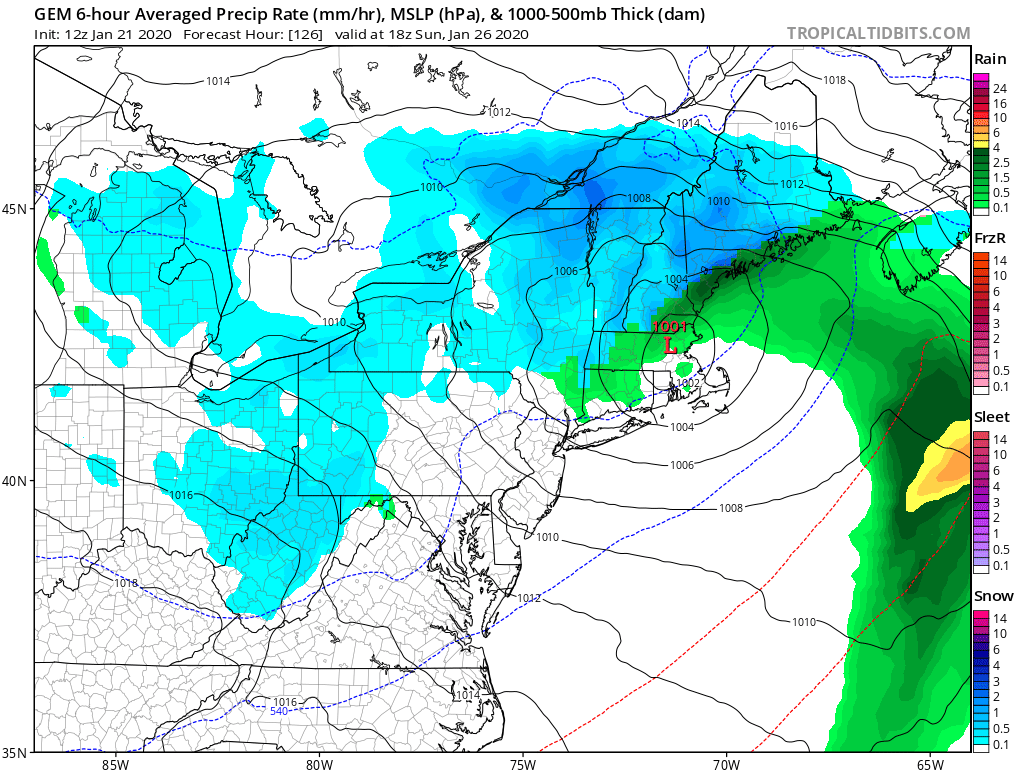
As the storm continues to intensify and pull out into the Atlantic, colder air should wrap in. Even if you have rain at the beginning of the storm, it's likely that there will be some snow at its conclusion.
The storm has the potential to interrupt travel, so you'll definitely want to stay tuned to later forecasts.
You can follow my updates here and on Twitter @growingwisdom.
Wednesday: Sunshine and a few clouds. Milder. Highs 32-37.
Wednesday night: Partially clear and chilly. Lows 17-24.
Thursday: Sunshine and clouds. Highs 40-45.
Friday: Partly sunny and mild. Highs 41-47.
Saturday: Clouding up. Rain or inland snow likely. Highs near 40.
Sunday: Possible rain or snow. Highs near 40.
Monday: Partial sunshine. Highs near 40.
