Advertisement
Today's Weather: Mild Monday, With Sunshine And Highs Near 50
January ended up being the driest month we've seen in quite some time — actually, since September 2016. Now that we're a few days into February, we can already see that the pattern is likely going to be wetter and more active.
There's no doubt that today is the pick of the week, with plenty of sunshine and temperatures hitting 45 to 50. This is quite a bit above where we should be this time of the year, of course, but that's been the story of the majority of winter.
A cold front is moving across the area Tuesday, and that will usher in chillier air and bring about the chance for an isolated shower or two.
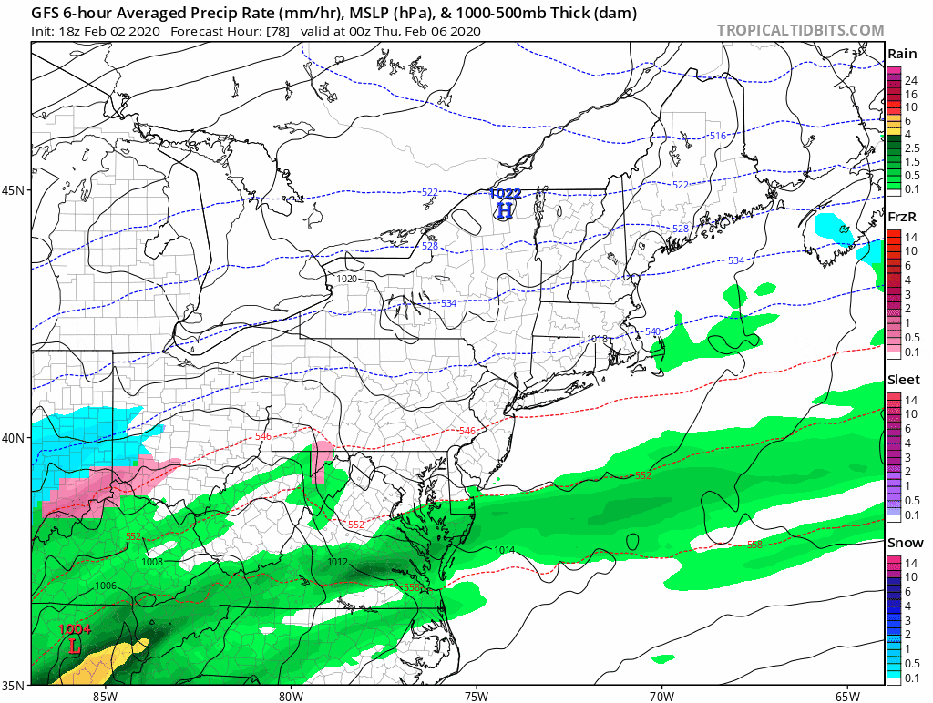
It turns more active Wednesday through Friday, with a couple of waves of low pressure and cold air close at hand. The chill means that there could be some possible accumulating snow Wednesday night or Thursday. I don't expect this is going to become a real problem but we haven't seen much wintry weather lately, so at this point, any snow in the forecast is going to raise interest.
You can follow my updates here and on Twitter @growingwisdom.
Monday: Early fog, then sunshine. Highs 45-50.
Monday night: Some clouds. Lows 28-34.
Tuesday: Mostly cloudy, a shower. Highs in the mid-40s.
Wednesday: Clouds, a few morning showers. Highs 40-45.
Thursday: Mixed bag of precipitation, then rain. Highs near 40.
Friday: Rain possible. Highs nearing 50.
Saturday: Mainly sunny. Highs near 40.
Sunday: Partial sunshine. Highs near 40.
