Advertisement
Today's Weather: It's Back To Sunshine
We were graced with a bit of sunshine during the final hour of daylight on Tuesday, and it actually felt a little bit milder than the rest of the day. For Wednesday, we find sunshine with us all day long. Temperatures will reach into the lower 50s, but with the sun and light winds it will be a nice day to get outside.
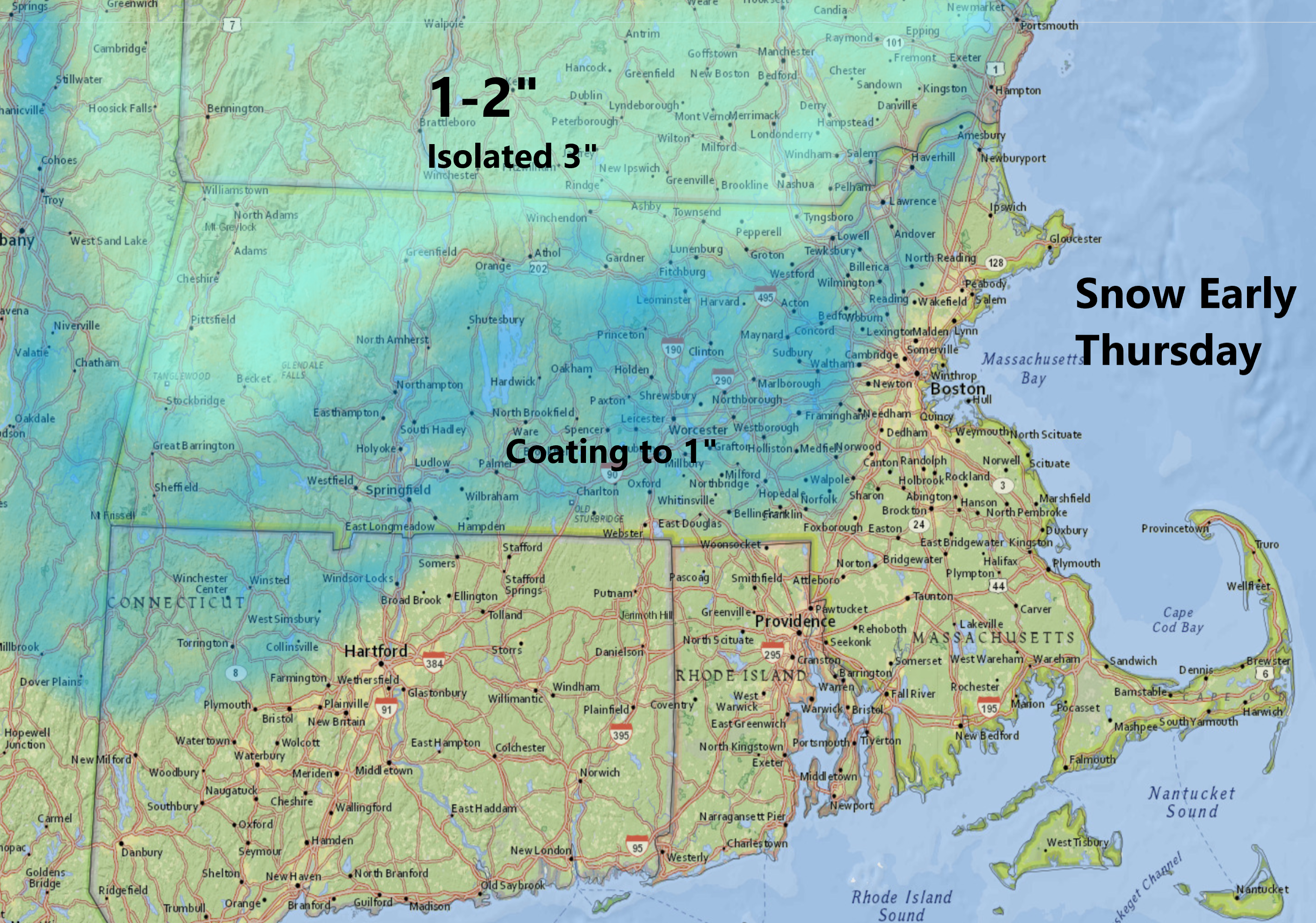
Overnight, skies will become mostly cloudy as another storm system approaches from the west, bringing light rain and a little snow to the area tomorrow morning. This map, which shows anywhere from coating to a few inches of snow into Southern New Hampshire, is a worst case scenario if the precipitation arrives when it is cold. Overall, however, it should fall as rain.
Expect anywhere from a quarter to a half an inch of rain from this upcoming system. The showers will come to an end Thursday afternoon, and warmer air will then surge northward. Temperatures on Friday may start a little chilly but will quickly get into the 60s to near 70. I still can't rule out a brief shower but the trend is definitely going to be for the mild and slightly muggy air to take hold.
The feeling of spring won't last, however. High pressure builds back in from Canada for the weekend. That will mean a return to seasonable or even below average temperatures Saturday night into Sunday.
You can follow my updates here and on Twitter @growingwisdom.
