Advertisement
Today's Weather: Cooler Air Flows Into The Region
A cold front slipped through the area Monday. High pressure behind this front will provide some dry weather the next couple of days before a storm system grazes the region Thursday.
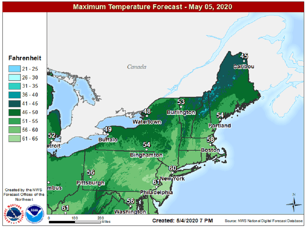
Temperatures Tuesday afternoon will get into the 50s to low 60s with plenty of sunshine and moderate breezes. The high will continue to keep any storms at bay through Wednesday with a continuation of sunshine and slightly cooler temperatures.
On Thursday, we'll watch an area of low pressure approach the region from the south. If this storm gets close enough, we could look at more general rainfall, but right now expect clouds with scattered showers and cooler temperatures.
There's a break in the action until another system brings light precipitation Friday night and perhaps into Saturday. Even colder air arrives for Mother's Day when temperatures stay in the upper 40s to low 50s. The absolute core of the coldest air may remain to our west, keeping us from seeing a hard freeze, but we will have to watch for possible late frost over the weekend.
You can follow my updates here and on Twitter @growingwisdom.
Tuesday: Sunshine gives way to clouds. Highs 55-60.
Tuesday night: Partly cloudy. Lows around 40.
Wednesday: Sunshine and some clouds. Highs 55-60.
Thursday: Periods of showers. Highs near 55.
Friday: Partly cloudy. May shower late. Highs nearing 57.
Saturday: Sunshine and clouds. Highs near 50.
Sunday: Partly cloudy and cold in the morning. Highs 50-55.
