Advertisement
Heavy rain and wind will move north by midday
ResumeA strong low pressure system moved from New Jersey up into New England, and is now on its way into southern Canada.
The rain will come to an end by mid-morning on Monday.
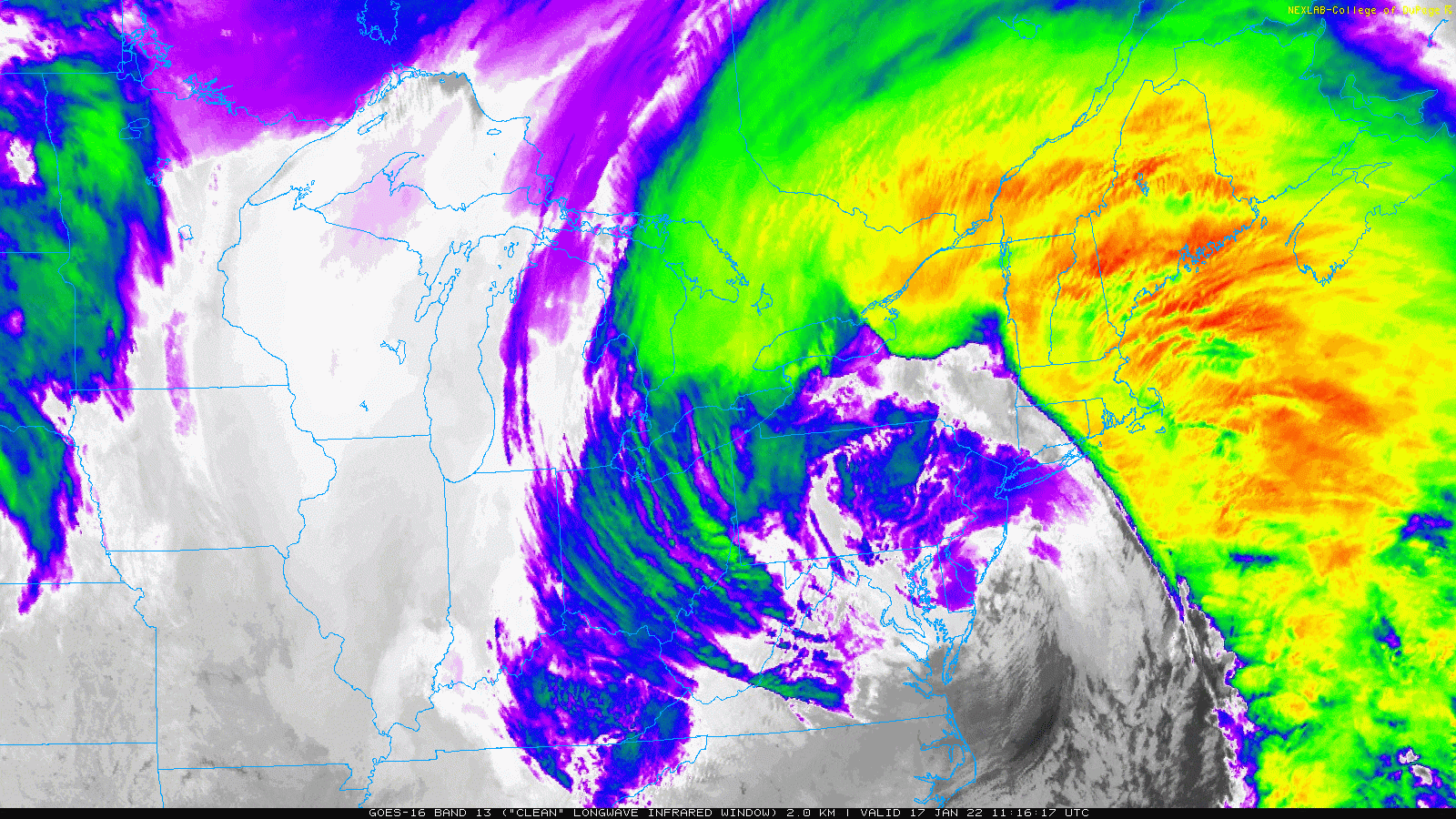
The strongest winds have moved across greater Boston and are headed up to the North Shore as of mid-morning before hitting the coast of Maine this afternoon. Winds have gusted as high as 67 mph in places like Wellfleet, but most areas have seen less wind than that.
Snowfall has been minimal but the rain has been quite heavy. If you are susceptible to wet basements it might be a good idea to go downstairs and check this morning. With the ground frozen, water won't be absorbed quickly.
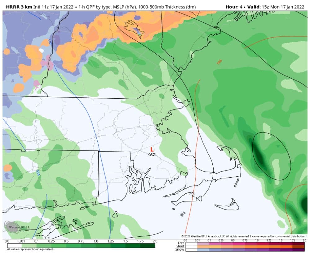
There will be minor to moderate coastal flooding at high tide around 10 a.m., but it should not be significant.

There's about 14,000 power outages across Massachusetts as of 8:30 a.m. Outages will peak before noon after which time crews will be allowed to get outside and start restoring.
If you did get snowfall that was not washed away, you'll want to remove it this afternoon because it will freeze rock solid at night. Temperatures will remain cold on Tuesday.

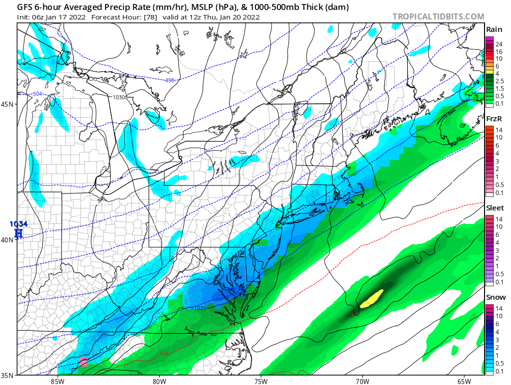
Dry weather continues into Wednesday with a moderating trend, but we will have to watch for a coastal storm. If it comes close to New England, we may have to contend with more snow in a couple of days but the track of the system is still in question.
There's no doubt that January is going to continue on a cold and storming note with no sign of the pattern changing until at least early February.
This segment aired on January 17, 2022.
