Advertisement
Weekend forecast: As sweltering temps keep up, Boston could see a 6-day heat wave
Resume
Today marks the second day of temperatures that have exceeded 90 degrees, putting Boston right in the middle of what may end up being a five- or potentially six-day-long heat wave in the city.
The high on Thursday broke the daily record after hitting 98 degrees. Friday's temperature was just shy of the record 100 degrees set back on Aug. 5, 1955. Nonetheless, the humidity is exceptional and heat index values have been hovering in the upper 90s.
On Saturday, the temperature is set to top out in the low 90s, despite a weak sea breeze kicking in during the afternoon. The ocean breeze will be held off again on Sunday, with highs back in the mid-90s and heat index values eclipsing 100.There is some uncertainty as to how long this heat will stick around. A backdoor cold front is set to arrive sometime during the start of next week bringing a welcome drop in temperatures, especially at the coast. The timing of this front is critical in determining what our highs will be; right now, you can expect highs in the 90s again on Monday before temperatures drop into the 80s on Tuesday.
Some relief will be found on Cape Cod and in the mountains, but not much. Highs will be in the mid- to upper 80s in both locations this weekend, and the oppressive humidity will result in heat index values in the low 90s.
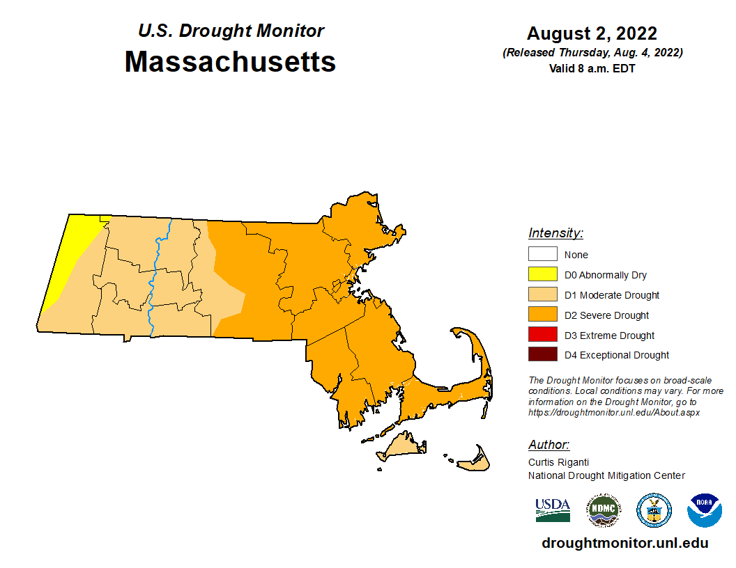
A dip in the water may be your best bet for cooling off, and ocean and lake temperatures are generally running in the upper 60s to mid-70s in many areas. With more than half of Massachusetts now in severe drought, the state could certainly use some precipitation, and the thunderstorm risk over the next several days may at least provide a bit of much-needed rain.
The risk of thunderstorms on Saturday is highest inland, where scattered afternoon action is likely and a few storms could become strong.
On Sunday, the threat of rainfall will be more sparse and occur a little later in the day, mainly in the late afternoon and evening. Any storms that do develop will bring downpours, lightning and brief wind gusts, so be ready to quickly seek shelter indoors.
This segment aired on August 5, 2022.