Support WBUR
Boston Tapping Waze Data To Help Improve Traffic Signals, Ease Congestion
The city of Boston is hoping real-time data from Waze can help improve traffic signal timing and ease congestion in the city.
The city will use data from the Google-owned traffic app to help identify specific routes where traffic signal adjustments can be made to improve traffic.
"Our traffic management center controls 550 signalized intersections," Boston's transportation chief Gina Fiandaca said in a phone interview. "The majority of those that require some signal re-timing are in the downtown core in response to peak-hour commutes, so we monitor those quite heavily and we anticipate being able to optimize the data from Waze to inform the signalization timing."
The app allows users to check real-time traffic conditions on Boston's streets. As part of the partnership, the city will also share real-time information on expected road closures to the app's 400,000 users in Greater Boston.
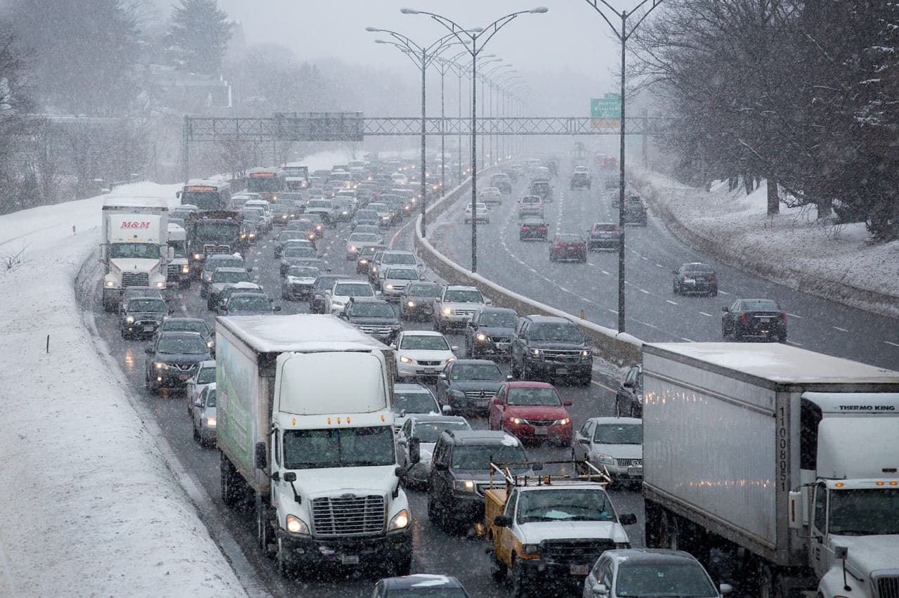
The data-sharing partnership was announced Friday and comes after two weeks of major transportation woes following several snowstorms.
According to Fiandaca, the partnership will also help traffic management engineers respond to traffic jams, accidents and road hazards quicker.
"The benefit to us in terms of our traffic managers is that this is dynamic data and this is real-time, as it's happening, and this allows us to make those changes in response to current conditions as opposed to after the fact," Fiandaca said.
This spring, the city will also launch a pilot program with the MBTA to measure the impact of signal timing along the Silver Line.
"Essentially what we will be doing is testing a couple of different approaches to signal timing along one of the Silver Line's main routes and the benefit of that here is the Waze data will allow us to better measure the impacts of the different approaches to signal timing with the end goal being trying to speed the Silver Line along its route," said Matthew Mayrl, the city's deputy chief information officer.
This program is part of Mayor Marty Walsh's ongoing efforts to use data to manage the city. Last month, Boston partnered with Uber to use the ride-hailing service's trip data to assess transportation patterns across Boston's neighborhoods. Mayrl said both partnerships give the city instantaneous data that it otherwise would have to make a big investment to get.
"They're complementary in many ways because the data we can get from Uber allows us to measure, to a reasonable degree, travel times between neighborhoods, whereas the Waze data can be extracted at a more granular level, not user-specific but corridor specific," Mayrl said. "So, [for example] Broadway from X to Y, we can actually measure that, which you can't do that within the data that we get from Uber.
The city hopes both partnerships can help inform traffic management practices.
