Support WBUR
How GPS Has Gone Beyond Mapping
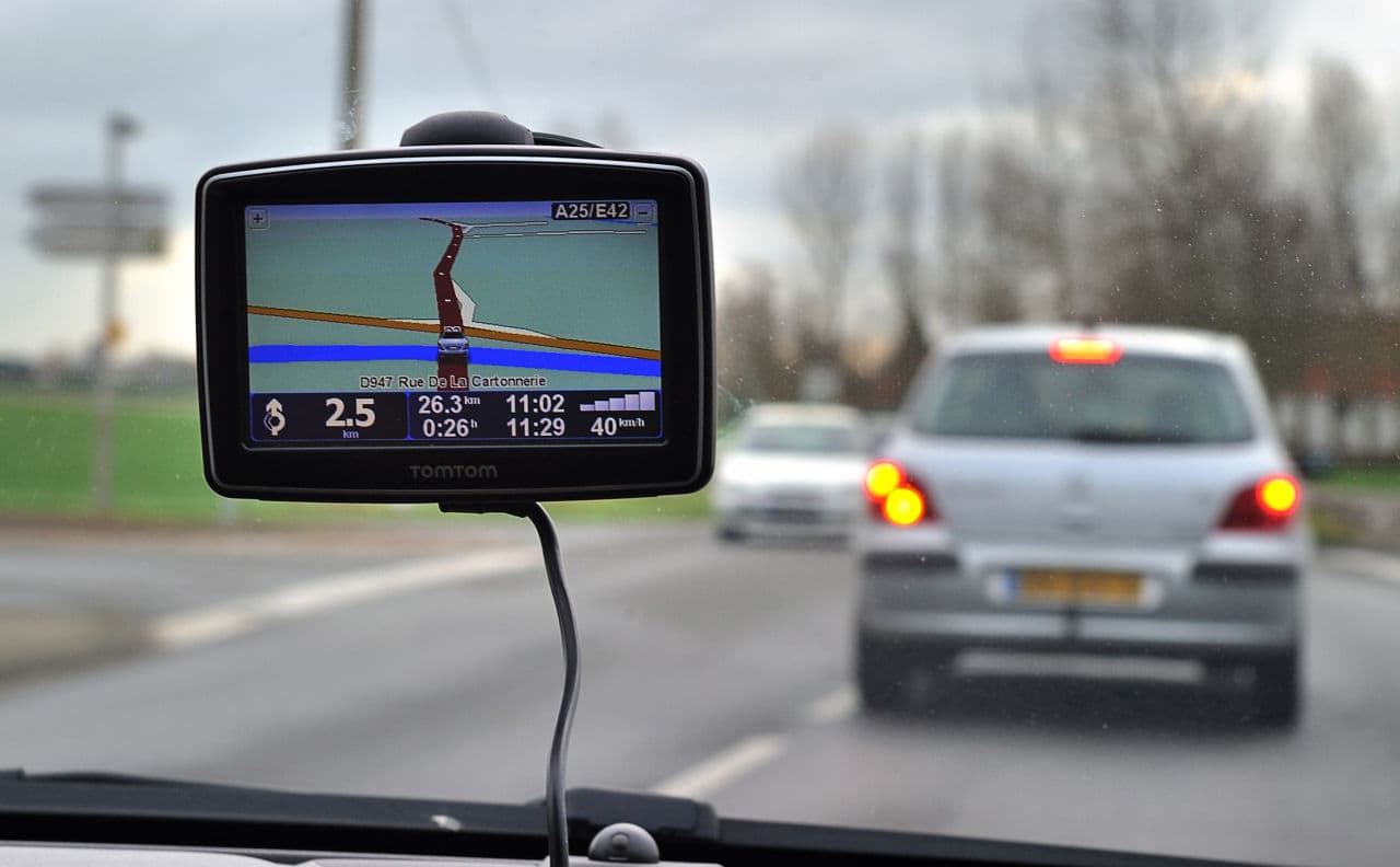
That GPS on your phone is just one small way the technology is being used right now. According to author Greg Milner, GPS is used to monitor the electrical grid, to make agriculture more efficient, and even to keep very accurate time. "There really is almost no facet of society that is not in some way or another touched by GPS," Milner told Here & Now's Jeremy Hobson. Greg Milner is author of "Pinpoint: How GPS is Changing Technology, Culture and Our Minds."
Book Excerpt
By Greg Milner
We all traffic in illusions when we try to define what it means to be somewhere, and not somewhere else. Societies rally around these shared conceptions of location. The home-center user thinks, I am now 100 paces away from home, in the direction of the large tree. The local-reference etak user orients himself by what segment of the journey he is on—it helps him know when to execute the steps in the course he has set. Even in the self-centered world, we maintain vestiges of both. In a strange city, with no map or GPS, we remember how many blocks we have ventured from the hotel; we locate ourselves in relation to prominent landmarks. But mostly, in the age of GPS, we don’t require the environment to locate ourselves.
Imagine trying to convince a literal-minded Martian anthropologist—or the Carolinian navigator—why the first mapped image of the world many children study is the Mercator projection that is still a staple of grade-school classrooms, with its grotesque geographic distortions. Or why the X on a shopping mall’s map, labeled “you are here,” does not imply a belief that you are actually, you know, there, engraved on that map, anchored for eternity.
Lewis suspected that Tevake used a reference system similar to etak, one that allowed him to conceptualize where he was in relation to islands in the region. “His ability to point out the direction of invisible islands whenever he wished is presumptive evidence that he was thinking in terms of some form of home--reference system,” Lewis concluded. But how did Tevake’s system work? The concept had never quite broken through the language barrier—and the wayfinding barrier—so Lewis had never fully grasped it. Faced with Tevake’s probable death, Lewis felt he’d lost not only a dear friend, but also a historical link. He described Tevake as “almost alone, one of the last in a line of navigators that stretched back 5,000 years to the Austronesian dispersal.” “It is a matter for very real regret that our rather limited ability to communicate prevented me from questioning Tevake in any depth about this complicated subject, which seems to have been entirely neglected by earlier European investigators in Polynesia,” Lewis wrote.
Whatever language barrier separated Cook from Tupaia and Lewis from Tevake was compounded by a cognitive barrier, an inability to reconcile two worldviews that help humans define location. Navigators using etak “share and take for granted all the cognitive antecedents of saying that an island ‘moves,’ ” Gladwin wrote. “They find no need and therefore have had no practice in explaining to someone like myself who starts out thinking of a voyage as a process in which everything is fixed except the voyager.”
If variations of this kind of local reference were once common throughout Polynesia, it would help explain how voyagers had such mastery of the sea. They were aided not only by ingenious navigation methods, but by a perfectly complementary mode of wayfinding that defined where they were, adding to that knowledge over the centuries, as the migration proceeded. And maybe, just maybe, this is what Cook had also missed when he showed little interest in Tupaia’s map. It pained Lewis to think he had unwittingly repeated Cook’s mistake.
Many who have pondered the mysteries of Polynesian migration, Lewis included, have expressed a disbelief, verging on outrage, that Cook expressed so little intellectual curiosity regarding Tupaia’s map. If Tupaia was indeed trained to use a local--reference system, it would represent a worldview not amenable to expression in Cartesian space.
This cognitive barrier produces contrasting notions of the importance of timing for a navigator. Dead reckoning on the ocean would seem to require knowledge of both the average speed since the last known point and also how much time has passed. That temporal knowledge is absolutely essential if we want an accurate position fix. A skilled navigator using a modified home-reference system like etak—so adept at judging speed and thinking in terms of reference islands—has a more relaxed relationship with time. Lewis discovered that he was better than Tevake at estimating the exact time of day. But Tevake was so skilled at calculating the distance the canoe had traveled that he could estimate arrival time with astounding accuracy.
As it happened, Captain Cook was at the forefront of the effort to solve the timing problem. The eventual European conquest of the Pacific islands, accomplished in no small part by the refining of self-centered navigation, would decimate local populations. Among the losses would be the local-reference systems that abetted the original colonization. Already engulfed in that history, maybe Cook was incapable of really seeing Tupaia. And so their ships passed, moving apart like floating islands, Tupaia taking with him his perfect knowledge of the Pacific, and Cook looking away, in hot pursuit of the key to self-centering, a quest that would culminate in GPS.
Guest
- Greg Milner, author of "Pinpoint: How GPS is Changing Technology, Culture and Our Minds." He tweets @GIMilner.
This segment aired on May 9, 2016.