NASA Scientists Get Close-Up View Of Antarctic Iceberg
05:54
Copy the code below to embed the WBUR audio player on your site
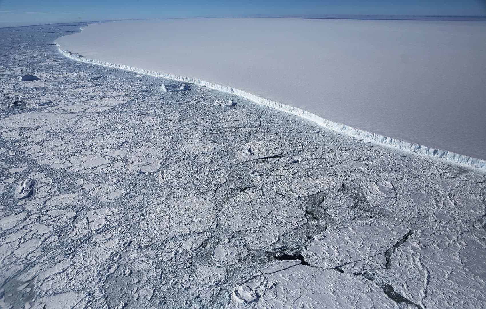
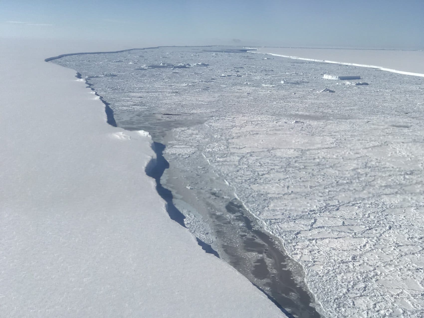
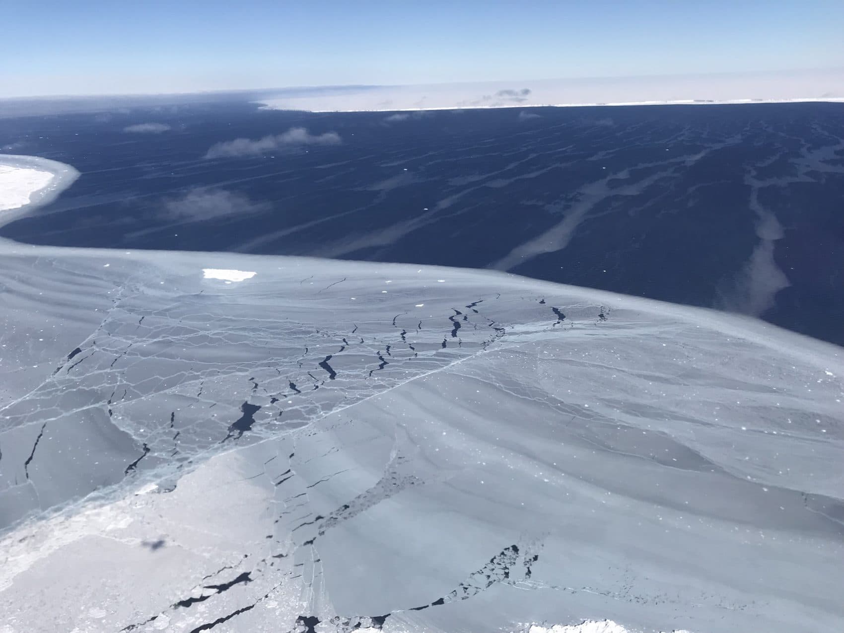
The western edge of the famed iceberg A-68 (TOP R), calved from the Larsen C ice shelf, is seen from NASA's Operation IceBridge research aircraft, near the coast of the Antarctic Peninsula region, on Oct. 31, 2017, above Antarctica. The massive iceberg was measured at approximately the size of Delaware when it first calved in July. NASA's Operation IceBridge has been studying how polar ice has evolved over the past nine years and is currently flying a set of nine-hour research flights over west Antarctica to monitor ice loss aboard a retrofitted 1966 Lockheed P-3 aircraft. (Mario Tama/Getty Images)
Scientists are getting an aerial view of one the largest icebergs ever recorded off Antarctica. They're trying to determine why it broke off from the ice shelf and how it may affect sea level rise.
Here & Now's Robin Young speaks with Nathan Kurtz, project scientist with NASA's Operation IceBridge.