Support WBUR
Addressing the shortfalls of flood maps with a local look at climate impacts
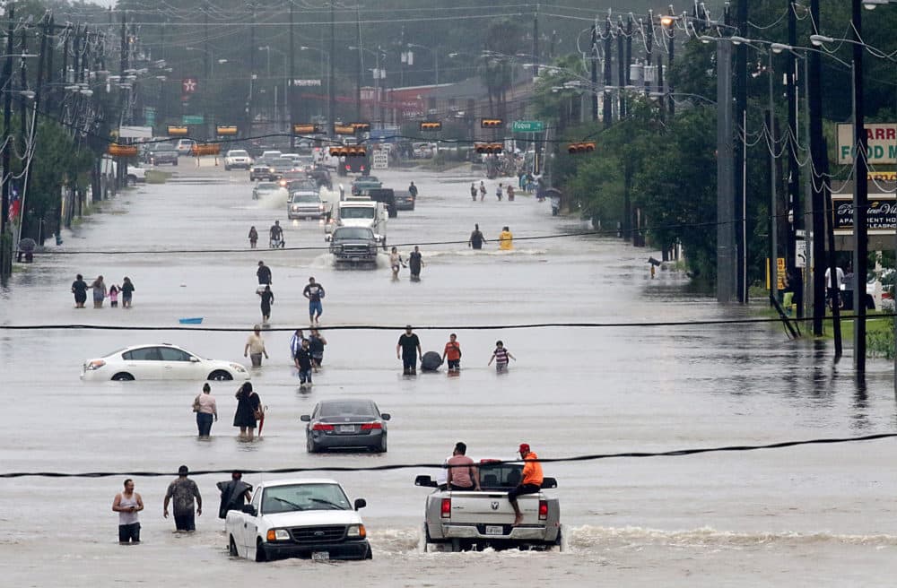
A new analysis finds flood risk in the United States will increase 26% in the next three decades due to climate change.
Researchers broke down the impact on a more local level compared to most current maps, which often fail to incorporate that the nature of flooding is changing.
Here & Now's Scott Tong speaks with one of the leaders on the project, Oliver Wing, chief research officer at the U.K.-based flood modeling company Fathom.
Take a look at the map here.
This segment aired on February 10, 2022.