Support WBUR
Stellar Forecast To Celebrate America's Birthday
Yesterday you likely could feel the air drying out a bit as the day wore on. Today a cold front is passing through the area, but things will stay mainly dry.
If there is going to be a shower or storm, the highest risk would be south of the Massachusetts Turnpike. Indeed, Connecticut has the best chance of an afternoon shower.
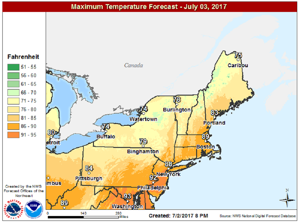
Today is a great beach day with highs approaching 90, but cooler air along the coast and on Cape Cod. After the front goes by, it remains warm and dry for a few more days. Late in the week — perhaps Thursday night or Friday — we will see the humidity return along with a chance of showers.
If you're planning on watching the fireworks on the Esplanade in Boston on the Fourth of July, the weather won't be an interference. That's also true of any fireworks shows you may see tonight, too.
Temperatures will be warm in the evening Tuesday. However, by 10 or 11 p.m., there will be a coolness to the air, which is something we haven't had in a while.
Have a great Monday and Independence Day!
You can follow my updates here and on Twitter @growingwisdom.
Monday: Warm and less humid with sunshine. Highs in the 80s to near 90.
Monday Night: Mainly clear and comfortable for sleeping. Lows 55-60.
Tuesday (Independence Day): Partly to mostly sunny. Highs 80-85.
Wednesday: Sunny and dry. Highs in the low 80s.
Thursday: Lots of sunshine, some passing clouds. Highs in the lower 80s.
Friday: Clouds, some more humidity and sunny periods. May shower. Highs 81-85.
