Advertisement
Forecast: Showers And Storms, But Also Some Sunshine
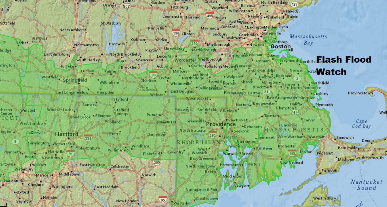
A flash flood watch has been posted for the area just south of the Massachusetts Turnpike through 9 p.m. this evening. Some showers and storms could produce torrential rain and cause street flooding.
Remember, if a road becomes flooded, don't try to drive through it. You don't know how deep the water is.
A stalled-out frontal system will bring the chance of showers for the next couple of days. While showers are in the forecast, there's going to also be a lot of dry hours and some sunshine.
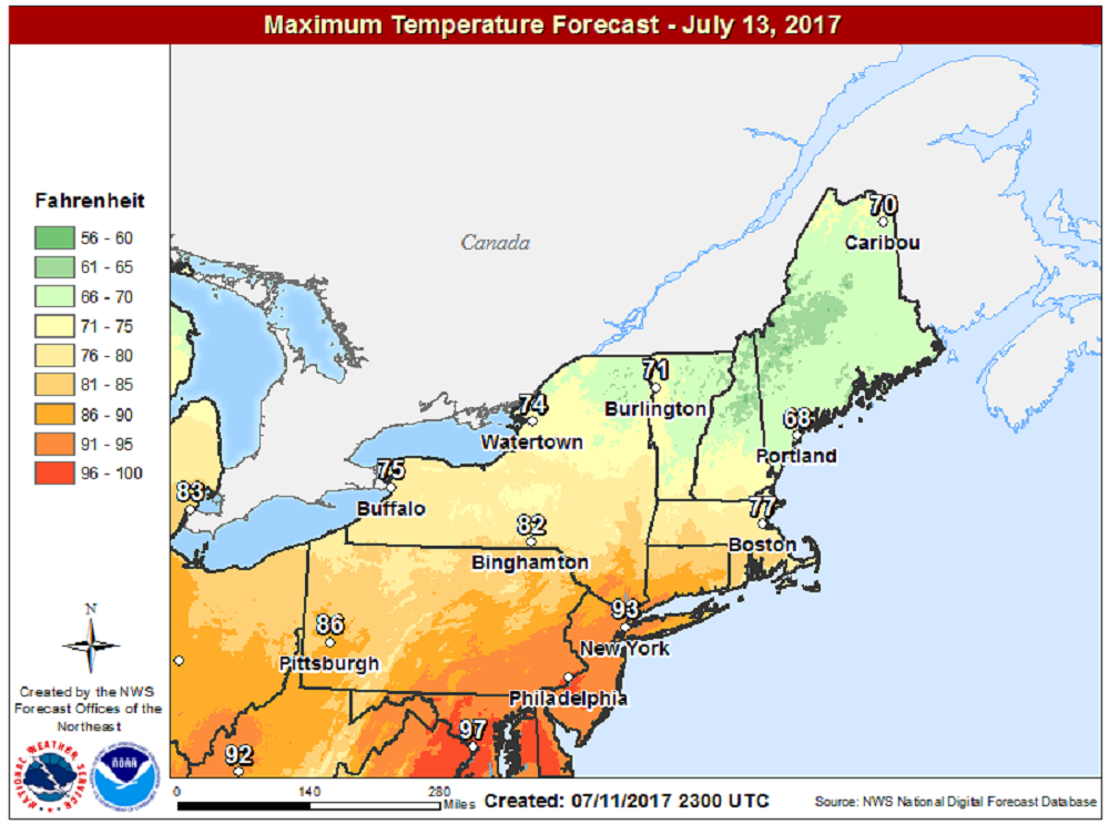
Temperatures will be warm today with a lot of humidity in the air. Highs in the 80s are common, with even Cape Cod being on the warm side.
Thursday is a fascinating day. A front will be pushing south from northern New England. Behind this front, cool marine air will drop temperatures dramatically. As a matter of fact, parts of the Maine coastline could see temperatures into the 50s during the afternoon.
The cool air will be eroding the warm and humid air at least temporarily. In Boston highs may reach 80, but if the front moves south fast enough, it may not get out of the mid-70s.
On Friday, the entire area is on the cool side of the boundary. This keeps temperatures in the 60s to near 70 most of the day. Readings this cool are not common in mid-July, but for those of you who don't like the heat, it will be a refreshing change.
The weekend is starting to trend quite nice. Saturday is the cooler and less humid day. On Sunday, both humidity and warmth will be on the rise. This means more of a beach day and presently no chance of rainfall.
Advertisement
You can follow my updates here and on Twitter @growingwisdom.
Wednesday: Changeable skies with high humidity. Scattered showers and storms. There could be some heavy downpours. Highs in the low to mid 80s.
Wednesday Night: Muggy. A few showers. Lows 66-69.
Thursday: Scattered showers and somewhat humid. Highs in the mid 70s to mid 80s south of Worcester.
Friday: Mostly cloudy, some showers. Cooler and muggy. Highs 66-73.
Saturday: Partly sunny and pleasant. Highs 76-81.
Sunday: Mostly sunny. Highs in the low to mid-80s.
This article was originally published on July 12, 2017.
