Advertisement
Forecast: Cold And Frost Are On The Way
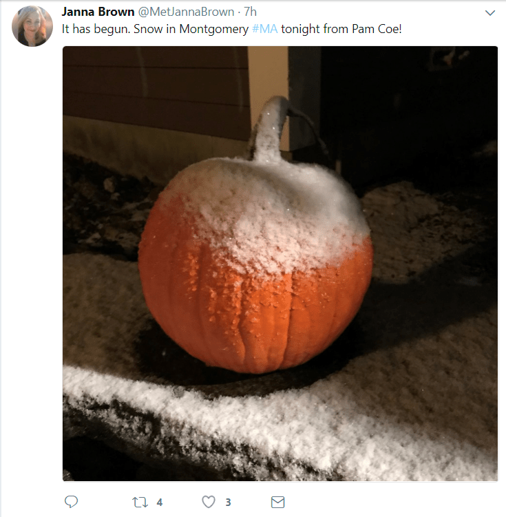
The first flakes of the season fell Tuesday night in a few spots across Worcester County and much of western Massachusetts. The ground even turned white in a few places. But there's still no major snow storms in sight and one wouldn't expect to see a lot of snow this time of the year.
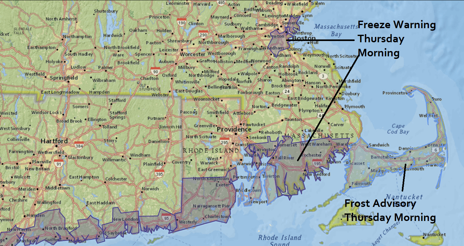
The first freeze of the season for many of us will occur tonight and there is a freeze warning posted for Boston and parts of the South Shore. The reason you don't see a freeze warning for the rest of us even though it will occur is because we are so far past the average date of the first freeze that a warning isn't necessary.
That said, if you've been reluctant to bring your plants inside, tonight is the night.
The cold air get even colder on Friday. That day brings a quick shot of Arctic air straight from the northern part of the planet. This time of the year there is snow on the ground up there and it's also dark so cold air builds rather quickly.
If the jet stream is in a certain configuration, that cold air gets pulled southward into the northeast. If this were the middle of January and we had snow cover I would forecast temperatures well below zero, but because it's still early November and there's no snow cover, the cold air up in the Arctic will modify somewhat as it moves towards New England.
These shots of Arctic air are not unusual in themselves, but we could near or break some records for the day on Friday morning when many areas will be in the teens and lower 20s. It will be one of the coldest Nov.10ths on record.
You can follow my updates here and on Twitter @growingwisdom.
Wednesday: Early clouds, then sunshine mixed with clouds and cool. Highs 49-53.
Wednesday Night: Chilly with lows 25-34 under clear skies. Coldest west of I-495.
Thursday: Seasonable. Sun and clouds. Highs 50-55.
Friday: An early rain or snow shower then blustery and cold. Temperatures falling or remaining in the 30s.
Saturday: Sunshine and chilly. Highs approaching 40.
Sunday: Sunshine and less chilly. Highs approaching 48.
