Support WBUR
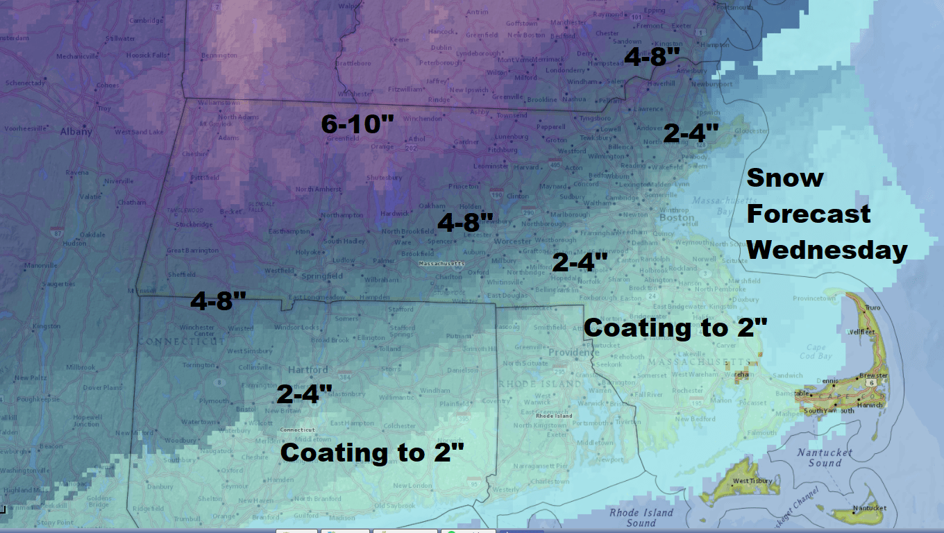
Forecast: A Quick-Hitting Storm To Bring 2-4 Inches Of Wet, Heavy Snow Wednesday
It hasn't snowed significantly for a little while. That is about to change for most of us.
A storm system is going to move into New England Wednesday and bring a burst of snow, some of it quite heavy for a while. This isn't the type of system that's going to slow down and create a major blockbuster storm, but it will bring plowable snow to many areas.
Wet Heavy Snow
The snow will be heavy and wet and since we are looking at a change to rain during this storm, whatever falls on the ground will become even heavier and wetter.
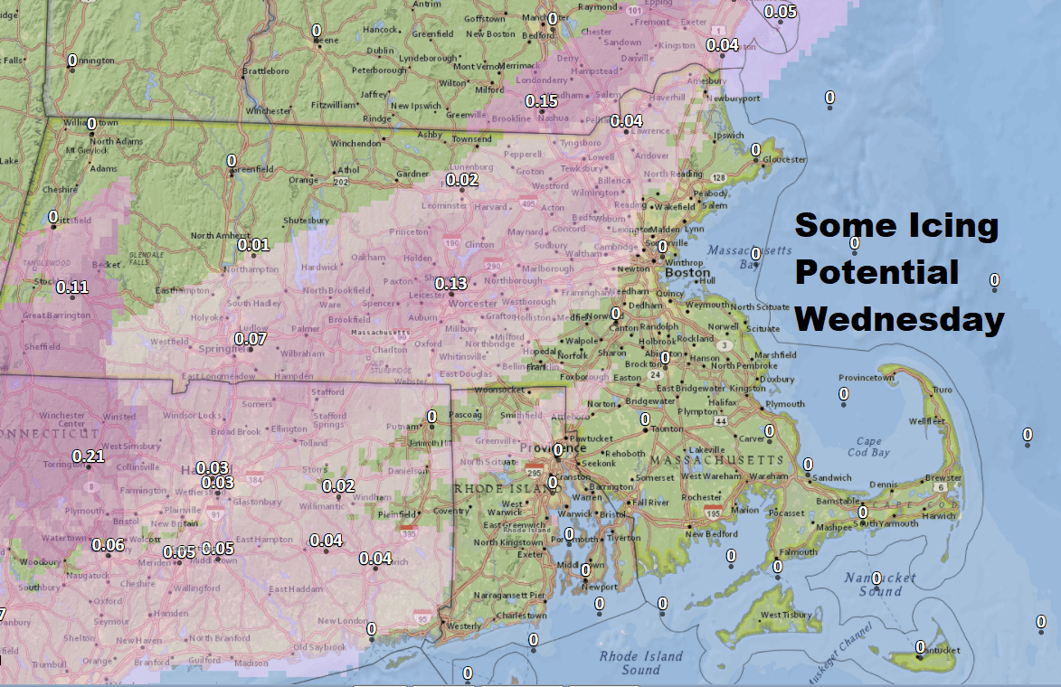
Some Icing
As the snow changes to rain there could be a few hours of icing in the middle. The most likely spots for this are around the Route 495 belt, but this doesn't look significant.
Slow Wednesday Evening
The morning commute will be storm-free but the evening will be a mess. It looks like the snow moves in around 10 in the morning, give or take an hour or two depending on where you are.
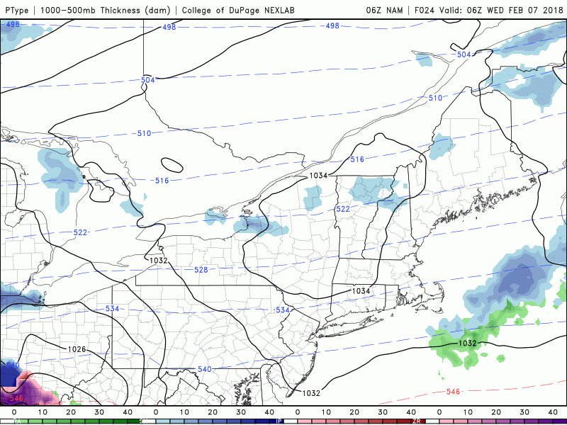
Change To Rain
During the afternoon the rain/snow line will push toward the north. The change to the snow takes place deeper into the afternoon north and west of Route 2 and this is where the snow will be deepest.
No Coastal Concerns
Neither the wind or coastal tides will be an issue with the storm. Even if the snow has changed to rain during the evening commute Wednesday it's just going to be sloppy enough that I expect a very slow ride home.
Everything clears out rapidly later Wednesday night after the rain comes to an end and by the time you get up Thursday morning skies will be clear and it just will be a blustery day. A weak system may bring a few snow showers back Friday, but this doesn't appear to be a high impact event.
You can follow my updates here and on Twitter @growingwisdom.
Tuesday: Cloudy, a snow shower late morning then clearing. Highs around 35.
Tuesday Night: Clear and cold. Clouds by morning. Lows 19-24.
Wednesday: Snow developing after the morning commute. This changes to rain from south to north after a few inches in Boston. There could be some icing as well. Highs in the 30s.
Thursday: Cold with sun and clouds. Highs 35.
Friday: Cloudy and cold. Maybe some snow showers. Highs in the lower to middle 30s.
This article was originally published on February 06, 2018.
