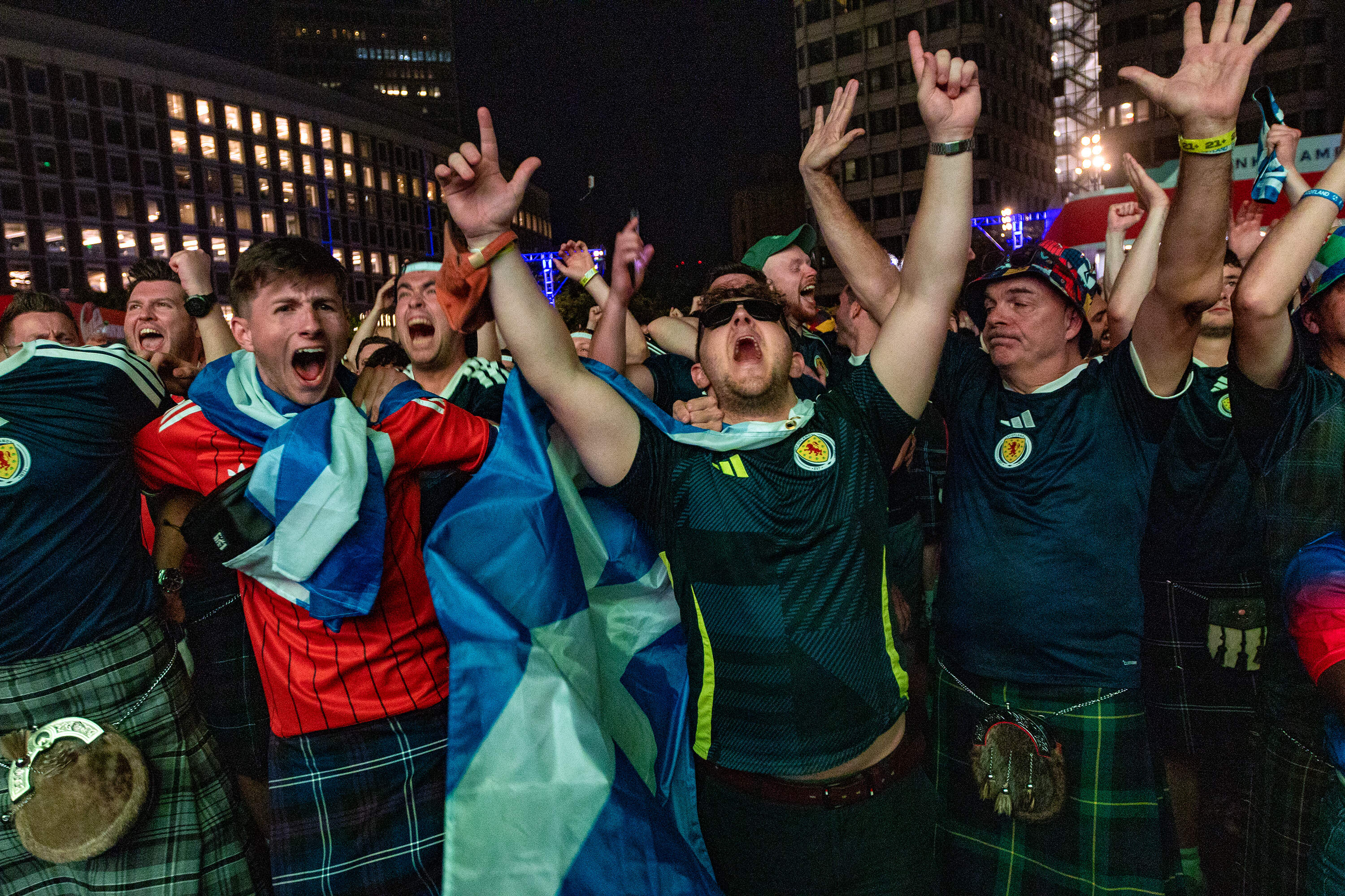
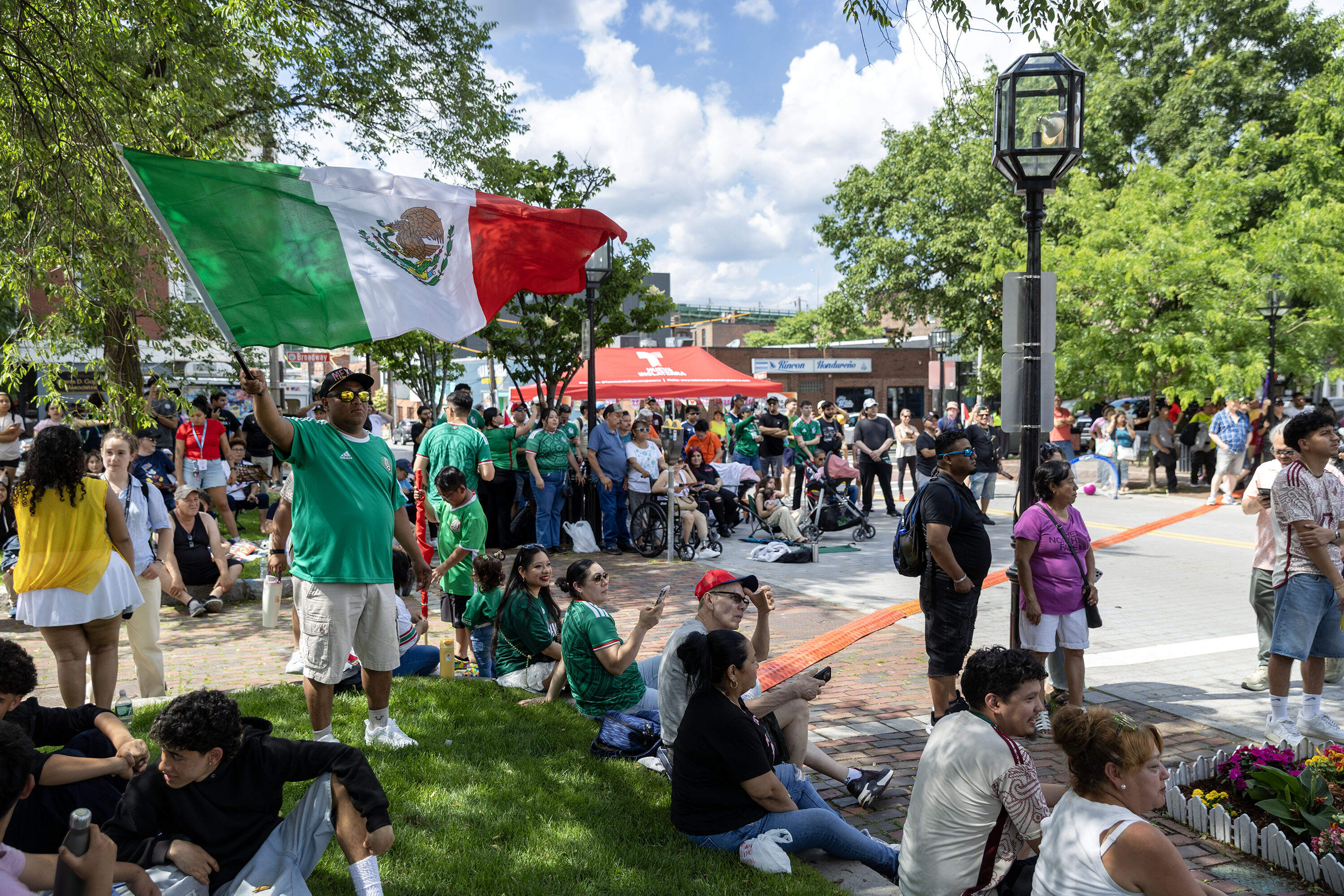

Mapping Project Explores Links Between Historic Redlining And Future Climate Vulnerability
Historic segregation practices may make people more vulnerable to the extreme heat and flooding arriving with climate change.

Latest Mass. Map And Case Count: Breaking Down Coronavirus Here In Charts
Take a closer look at trends in the state with these interactive maps and charts.
More Headlines
- For Grades 3-8, MCAS 2021 Spring Testing Dates Are Pushed Back
- NPR/Ipsos Poll: Nearly One Third Of Parents May Stick With Remote Learning
- Gov. Baker In Florida After Death In Family
- State Launching ID Verification Process For Some UI Claims
- Trump Is No Longer Tweeting, But Online Disinformation Isn't Going Away
- Democrats Control Washington, But That Doesn't Mean Their Agenda Will Pass
- Conn. Man Who Died In Construction Collapse Inside Cambridge Parking Garage Identified
- Domestic Workers Seek Inclusion In Phase 2 Of Vaccine Rollout
More From WBUR & NPR
Most Popular
Support the news
- Play
- Schedule
- Programs + Podcasts
- About
- CitySpace
- Donate Your Car
- Membership
- Inside WBUR
- Campaign For WBUR
- Radio Programs
- Here & Now
- On Point
- Radio Boston
- Podcasts
- Circle Round
- Dear Sugars
- Endless Thread
- Food, We Need To Talk
- Modern Love
- News
- The ARTery
- Bostonomix
- Edify
- Earthwhile
- Cognoscenti
- Commonhealth
- Investigations
- All WBUR News