Support WBUR
Today's Weather: Here Comes A Taste Of Arctic Air
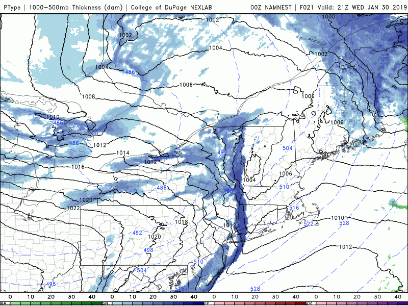
We had some snow overnight and now that weather system is moving eastward, making way for much colder air later today.
The one weather issue today is as the arctic air moves in, we will have some snow squalls developing. Squalls are very difficult to predict but the atmosphere is conducive for their occurrence today, and could drop half an inch of snow in a short amount of time. This can lead to very slippery conditions on the roadways so just be aware the most likely timing of these is between 4 and 7 p.m.
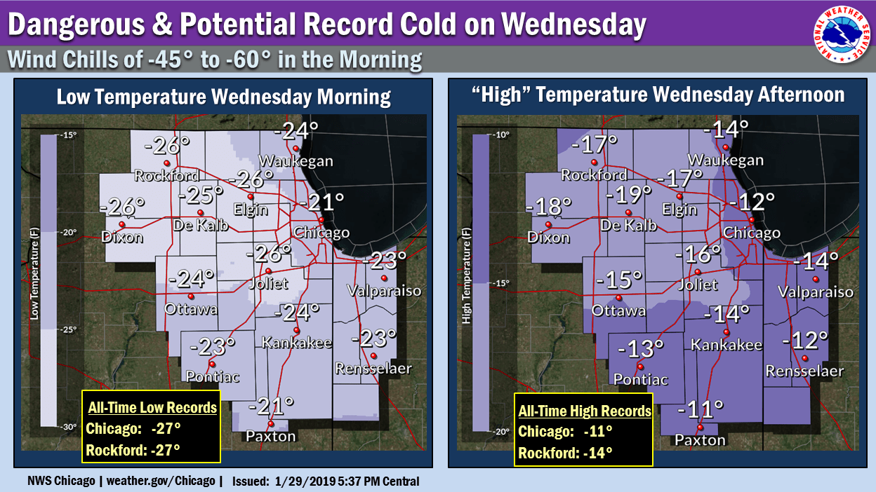
We should talk about what's going on in the Midwest, as it's some of the coldest air folks have ever experienced. Many spots in that region have records that go back to the late 1800s, but in the past 20 years we haven't seen this type of air; even if you go back to the 1950s there's only a handful of times where it's been quite this cold.
As you've likely heard, the main reason for the cold is that the winds, which move really fast, usually keeping the arctic air locked up in the northernmost regions of North America, have slackened. These lighter winds allow the cold air to escape and move southward. It's analogous to the spin cycle of a washing machine stopping and instead of the clothes being tight to the drum they flop to the middle. Well the winds in the northern part of the planet have slackened and the cold air is flopping down.
We will get a small piece of this for about 36 hours starting tonight and continuing through Friday morning before temperatures moderate. It's not going to be warm, but we're not going to see the type of cold that they are seeing in the Midwest and it's also not going to last very long.
As a matter of fact by the time we get to the weekend and early next week, temperatures will go above average and there's even a chance that we could go into the 50s by next Tuesday. Of course if the Patriots win the Super Bowl then the parade would likely happen on Tuesday — and wouldn't it be amazing to have a parade in February and temperatures that warm?
You can follow my updates here and on Twitter @growingwisdom.
Wednesday: Early morning snow or mix then clearing and blustery. A snow squall late in the afternoon/evening. Highs 32-37.
Wednesday night: Clearing and cold. Actual temperatures 0-10, wind chill readings 10-20 below zero.
Thursday: Very cold and sunny. Highs 5-15.
Friday: Sun and clouds. Highs in the mid-20s.
Saturday: Sunny and cold. Highs in the mid to upper 20s.
Sunday: Sunshine and not as cold. Highs 35-40.
This segment aired on January 30, 2019.
