Support WBUR
Today's Weather: Storm Brings High Winds And Possible Flooding
A large ocean storm continues to develop to the south of Cape Cod. This system is moving very slowly and bands of rain will rotate across southern New England through Saturday morning.
Although it will not be raining continuously, each batch of rain has the potential to produce heavy downpours and gusty northeast winds. The National Weather Service has issued flood watches and wind advisories for eastern Plymouth County, Cape Cod and Martha's Vineyard. Some coastal flooding is possible at times of high tide, and street flooding is likely in poor drainage areas.
Most of the strong wind potential will be confined to Cape Cod and the Islands. Peak wind gusts will range from 50 to 60 mph at times until early Friday. It will be chilly through this event, with temperatures generally in the 50s.
Finally, on Saturday, the storm will start to move away. The rain and wind will end, but clouds will linger into early Sunday. We should have a return to some sunshine and milder temperatures Sunday afternoon as week high pressure moves in from the west.
Meteorologist: Dave Goldbaum for Dave Epstein
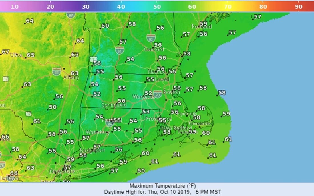
Thursday: Cloudy and windy with rain, few brief downpours. High 56.
Thursday Night: A few periods of mainly light rain. Windy. Low 50.
Friday: Periods of rain, some heavy, especially during the evening.
Continued rather breezy. High 55.
Saturday: Morning light rain ending, staying cloudy and breezy. High 55.
Sunday: Morning clouds, then becoming sunny. High 68.
Monday: Mostly sunny, Highs mid-60s.