Support WBUR
Today's Weather: More Snow Possible Tonight, With Another Storm On Its Way
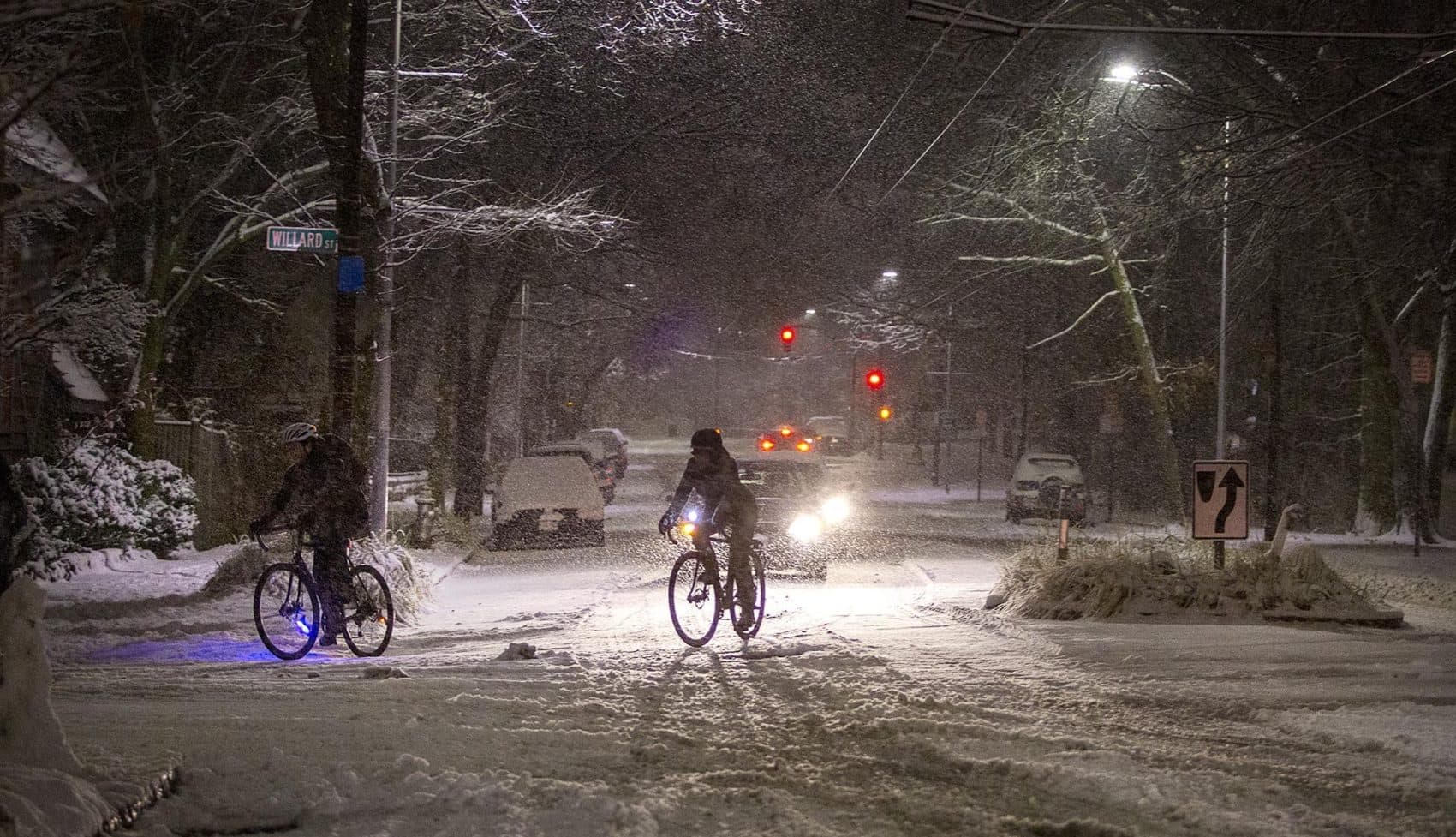
The storm that brought snow, sleet and rain to the region overnight and into early Monday gave us a bit of a lull today. Now, a second storm is moving into the region, bringing additional snow overnight into Tuesday.
As we head toward dark, temperatures will begin to fall and colder air will move toward the coastline. This can produce some black ice if there is still moisture on the road, so be aware of that possibility as you're headed home.
Upper-level energy is going to dive south overnight below New England and ignite a major ocean storm for early Tuesday morning. The bulk of this moisture will fall out over the ocean, but the western side of it is going to nick eastern New England. This is a very close call. If the storm is a little further east, we will not see much snow on Tuesday beyond up to a couple of inches. If it's a little closer to the coastline, we could see 6 inches or more.
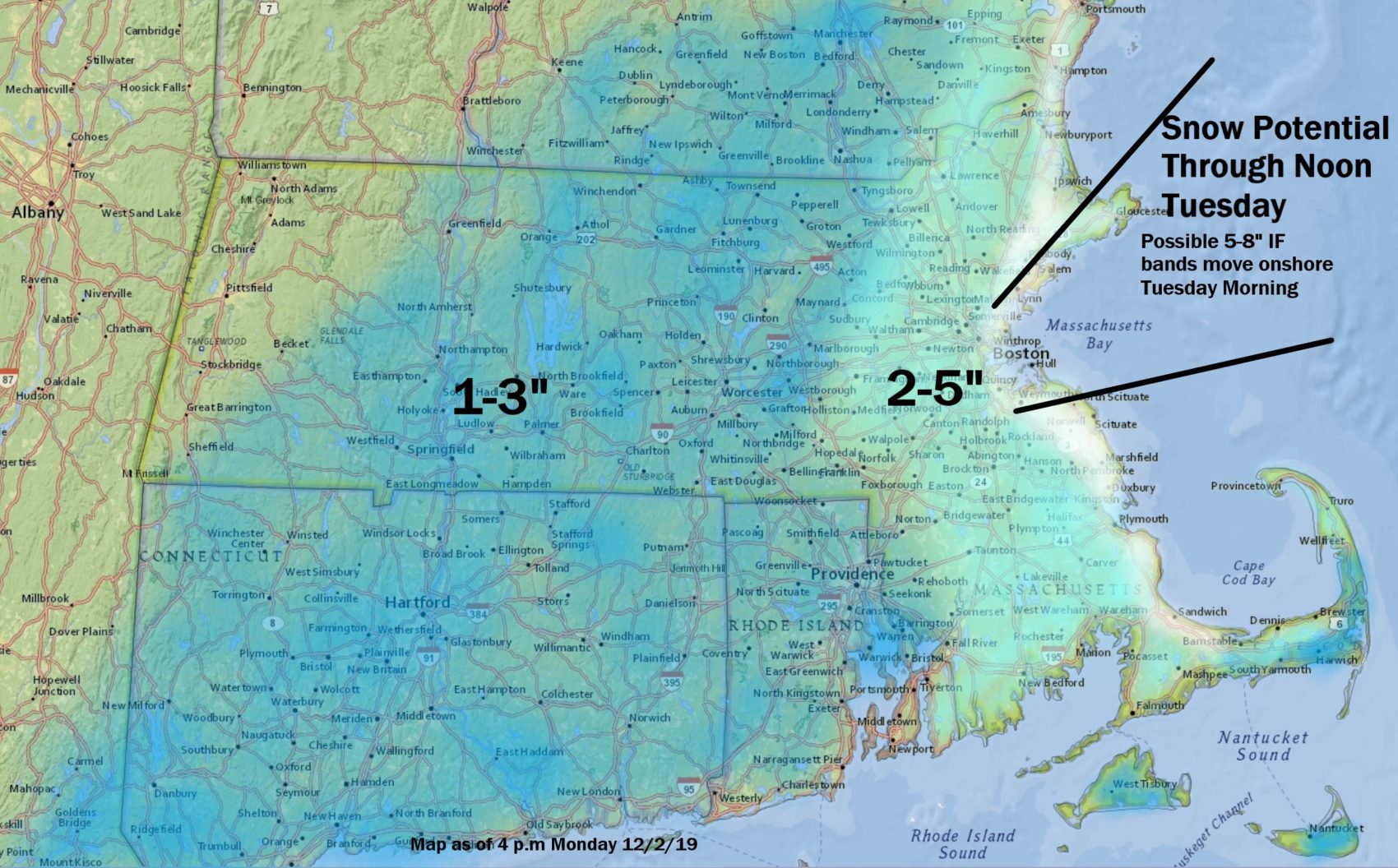
This snow will be lighter and not heavy and wet, as temperatures will actually be falling back below freezing. As the storm rotates up into the Gulf of Maine, that band of snow tomorrow morning should give Cape Cod and the Islands some accumulation as well.
Once that storm is finally up into Canada, skies will clear and we are looking at dry and chilly weather for the rest of the week.
You can follow my updates here and on Twitter @growingwisdom.
Monday: Cloudy with intermittent snow inland and mixed rain, sleet and snow on the coast. Highs 28-44. Warmest Cape.
Monday night: Cloudy with a period of snow developing. Lows in the 20s to lower 30s.
Tuesday: Morning snow, could be heavy near the coast. Highs in the 30s.
Tuesday night: Partly cloudy. Lows 22-29.
Wednesday: Clouds and sunshine. Highs 35-40.
Thursday: Bright and sunny with some clouds. Below average. Highs 35-40.
Friday: Sunshine, some clouds. Chilly. Highs 37-42.
Saturday: Lots of sunshine. Highs approaching 36.
Sunday: Sunshine. Highs near 40.
This article was originally published on December 02, 2019.
