Support WBUR
What to expect from today's snowstorm
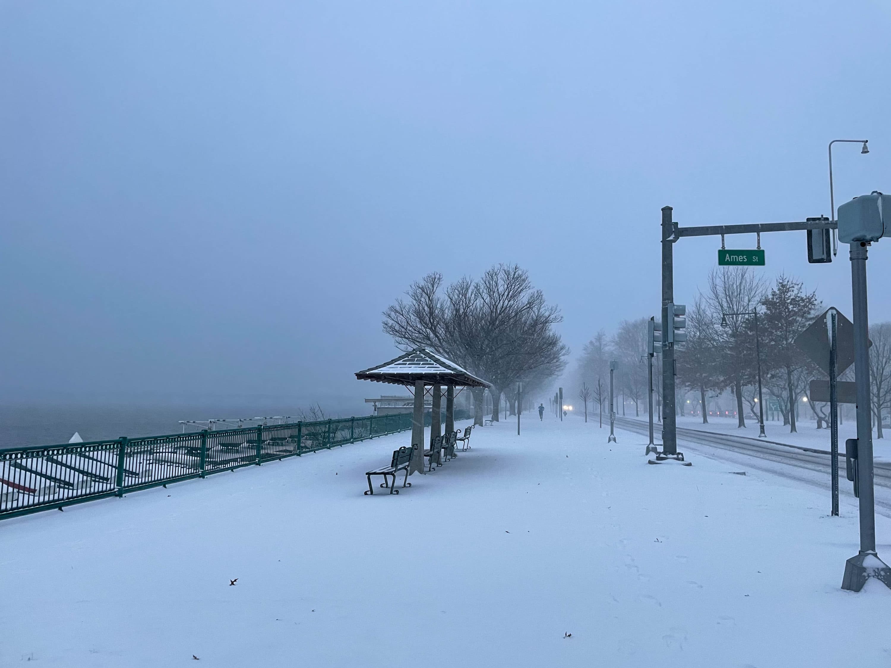
As the sun rises, there's already a couple inches of snow on the ground in most areas. The snow will continue to accumulate throughout the morning.
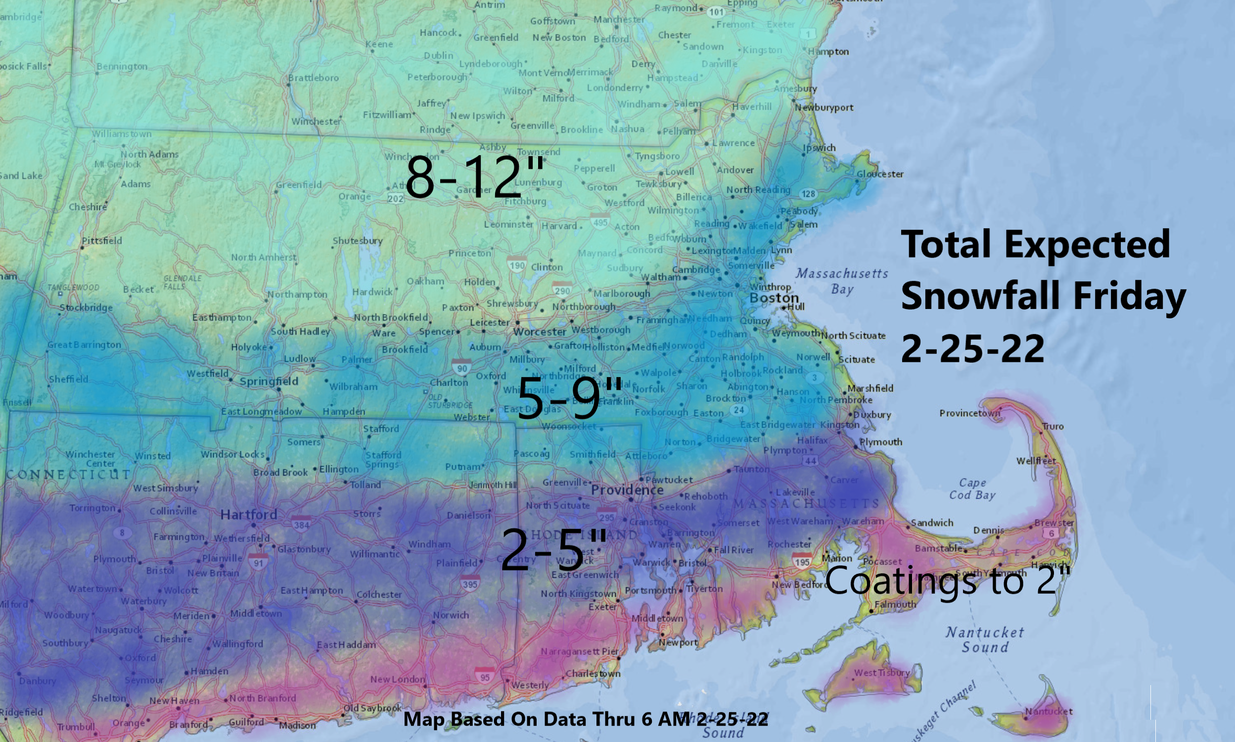
The expected snowfall totals assume that some snow and sleet mixing happens across the region.
In Boston and across southern Massachusetts, residents should expect 5 to 9 inches of snow. North of that, you should expect a little more with less mixing. Cape Cod could expect to see only 2 inches or less — there's already been some sleet across the south coast and parts of the Cape and the Islands on Friday morning.
Travel will be most interrupted Friday morning with improvement in the afternoon. Roads should be pretty close to normal by Saturday morning.
Gov. Charlie Baker is asking people to stay home if they could on Friday.
"If you can stay off the roads, especially during the morning, so that the crews can do their work," Baker said. "If you are able to work remotely, please do so. And if you must go out, take it slow."
The state reported more than 3,500 crews working overnight to pre-treat the roads.
The MBTA says all services are running normally -- except on the Mattapan Line. Buses will replace trolleys there.
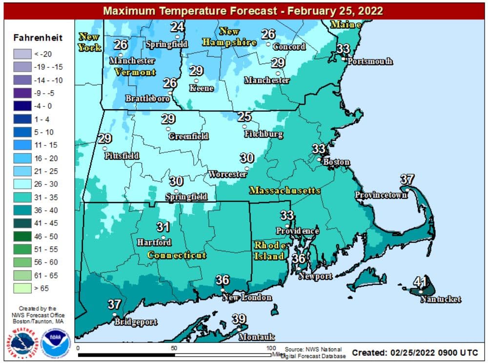
Temperatures will also warm to a little above freezing from Route 495 eastward on Friday, making the snow a little stickier and heavier in texture throughout the morning. Once you start hearing sleet against the windows — that pinging sound — most of your accumulation will be over. I expect this will occur between 11 a.m. and roughly 1 p.m.
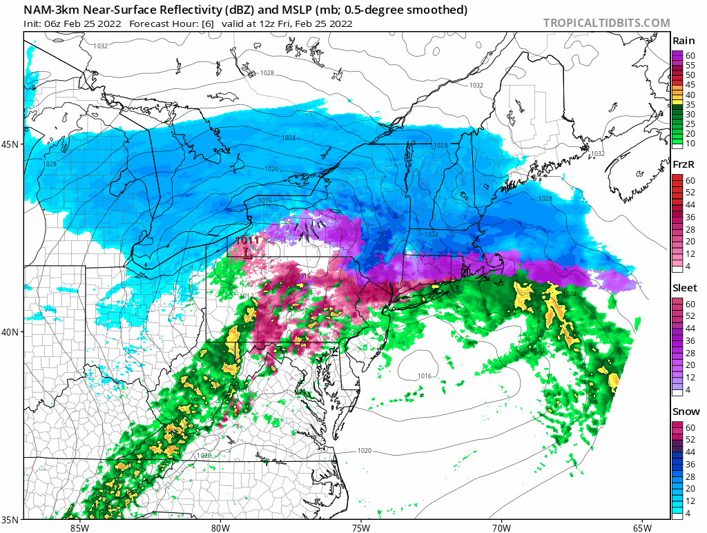
In the afternoon, there will be some lighter precipitation at first in the form of drizzle or sleet, or even snow. Around sunset, there'll be another little bit of light snow which could amount to a coating to an inch. The bottom line is that the bulk of this storm is this morning, with nuisance precipitation this afternoon.
Overnight temperatures will fall down into the teens. If you have not shoveled, the wet and heavy snow is going to freeze rock solid.
We won't have a lot of wind or coastal flooding to contend with in this storm. This means power outages aren't really a factor.
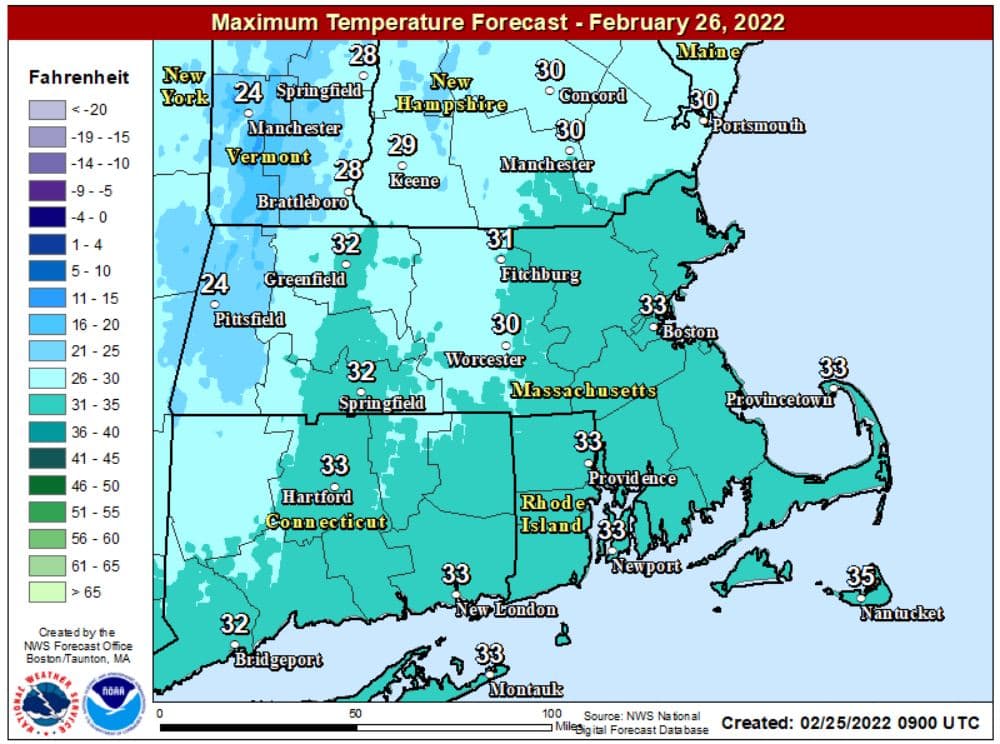
It will be cold this weekend with the highs only around freezing on Saturday, reaching into the upper 30s by Sunday. The coldest of the next five days is Monday, when readings will remain in the 20s.
This segment aired on February 25, 2022.
