Support WBUR
Intense heat, humidity and possible thunderstorms in Boston
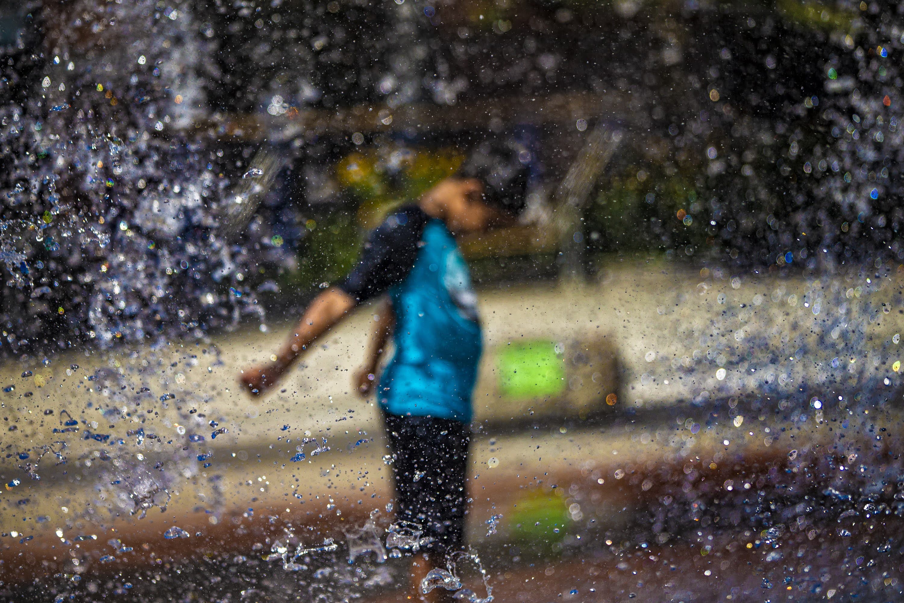
Temperatures soared into the 90s Thursday, breaking records for this August date, and kicking off what could end up being a five or six-day stretch of 90+ in the city — our second heat wave of the summer.
While it is humid, the dew point temperature is actually in the low- to mid-60s, which isn't in the totally oppressive range. Nonetheless, heat index values are hovering around 100. Hydrate, hydrate, hydrate and take lots of breaks if you need to be outside. Even just a few minutes in a shady spot can make a huge difference.
We hit 100 degrees in Boston just a couple weeks ago, on July 24, and if we do it again on Thursday, it will be the first time we've hit 100 degrees twice in a summer since 1952. We've hit 100 degrees in the city 28 times ever since records have been kept. July 4, 1911 stands as the hottest day ever recorded in Boston at 104.
While our temperature won’t be quite as hot on Friday, the dew point will be higher, so the heat index will be close to 100 again. If we can hit 90 for a high on Saturday, then our second heat wave of the summer will be official. A feeble sea breeze may try to inhibit that from happening. Sunday we have no problem climbing into the middle 90s again with heat index values over 100. It looks like we stay in the low 90s on Monday and perhaps Tuesday as well. Our typical spot for relief, Cape Cod, will be running 85 to 90 degrees with heat index values in the lower 90s over the next couple of days.
Boston Mayor Michelle Wu declared a heat emergency from Aug. 4 - Aug. 7. Heat advisories are in effect through 9 p.m. Friday, and will likely be issued again on Sunday. Under these conditions, your risk of heat exhaustion elevates during outdoor exertion or prolonged exposure.
With this heat and humidity in place, thunderstorms are likely to develop; they’ll be isolated on Thursday (mainly north and west of the city), more scattered on Friday and very hit or miss this weekend. While I don’t expect widespread severe storms, a few could become damaging, so be prepared to seek shelter indoors if necessary. Any thunderstorms that do develop will contain some downpours, which is welcome news with our drought conditions worsening and little substantial rainfall in the forecast.
This article was originally published on August 04, 2022.
This segment aired on August 4, 2022.
