Support WBUR
Another blustery, wet storm brings damaging winds to Mass.
Another powerful storm is moving through New England Monday. While this system is similar in some regards to last week's disturbance, there are some important differences to note. Here's what to expect:
Flooding rain
The Monday morning commute will be a mess regionwide. Very heavy rain and some of the strongest winds are forecast to occur between 5 a.m. and 10 a.m. Allow for a lot of extra time for any driving on Monday, and take it slow.
Rain will let up a bit in intensity after 9 a.m., though areas of lighter rain will still be around. Another batch of downpours with the chance of embedded thunder arrives between 2 and 4 p.m. Once that moves out, there should be a decrease in the overall rain coverage, with rain ending from south to north between 4 and 6 p.m. A widespread 2 to 4 inches of rain is anticipated, although far southeastern Massachusetts to Cape Cod may end up just shy of 2 inches.
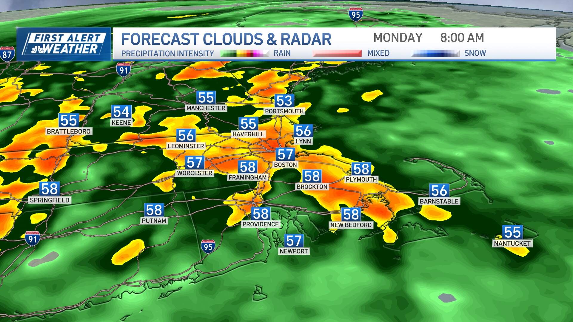
Areas of localized street flooding will result, including low lying areas, typical flood prone spots and urban centers. Some basements may flood as well. After last week's storm, rivers and streams are running high, which will mean minor river flooding with moderate flood potential for the Connecticut River Valley and Pawtuxet River.
Damaging wind gusts
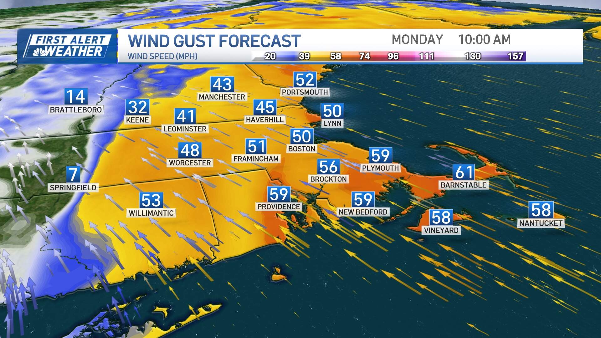
Deepening low pressure will generate strong southeast winds that will easily mix down close to ground level. That will translate into gusts up to 65 mph on the Cape, the immediate coast of the South Shore and Cape Ann.
Elsewhere, including in Boston and interior locations, gusts of 40 to 50 mph will be common. This will result in pockets of scattered outages and tree damage, especially since the soil is softer than usual after last week's rain.
Secure or take down any holiday décor that could go airborne in these strong winds. The core of the strongest wind should blow through from 6 a.m. until noon, though some gusts over 40 mph will linger on Cape Cod until 4 p.m. or so.
Coastal flooding
This is a dangerous storm on the water for the marine community, with large swell and breaking waves. Along the south coast of Massachusetts, pockets of minor coastal flooding surrounding the midday high tide Monday will occur, with the potential for moderate coastal flooding in Narragansett Bay, Rhode Island. The coastal areas of Essex County, Massachusetts may also experience some minor areas of flooding and splashover around midday, too.
Holiday forecast
The rest of this week favors drier and quieter weather all the way through Christmas Day. For Christmas Eve and Christmas Day (Sunday and Monday), highs should be in the mid 40s. No white Christmas in the forecast for a large part of New England this year.
