Support WBUR
Classic New England fall weather: Boston's long weekend forecast
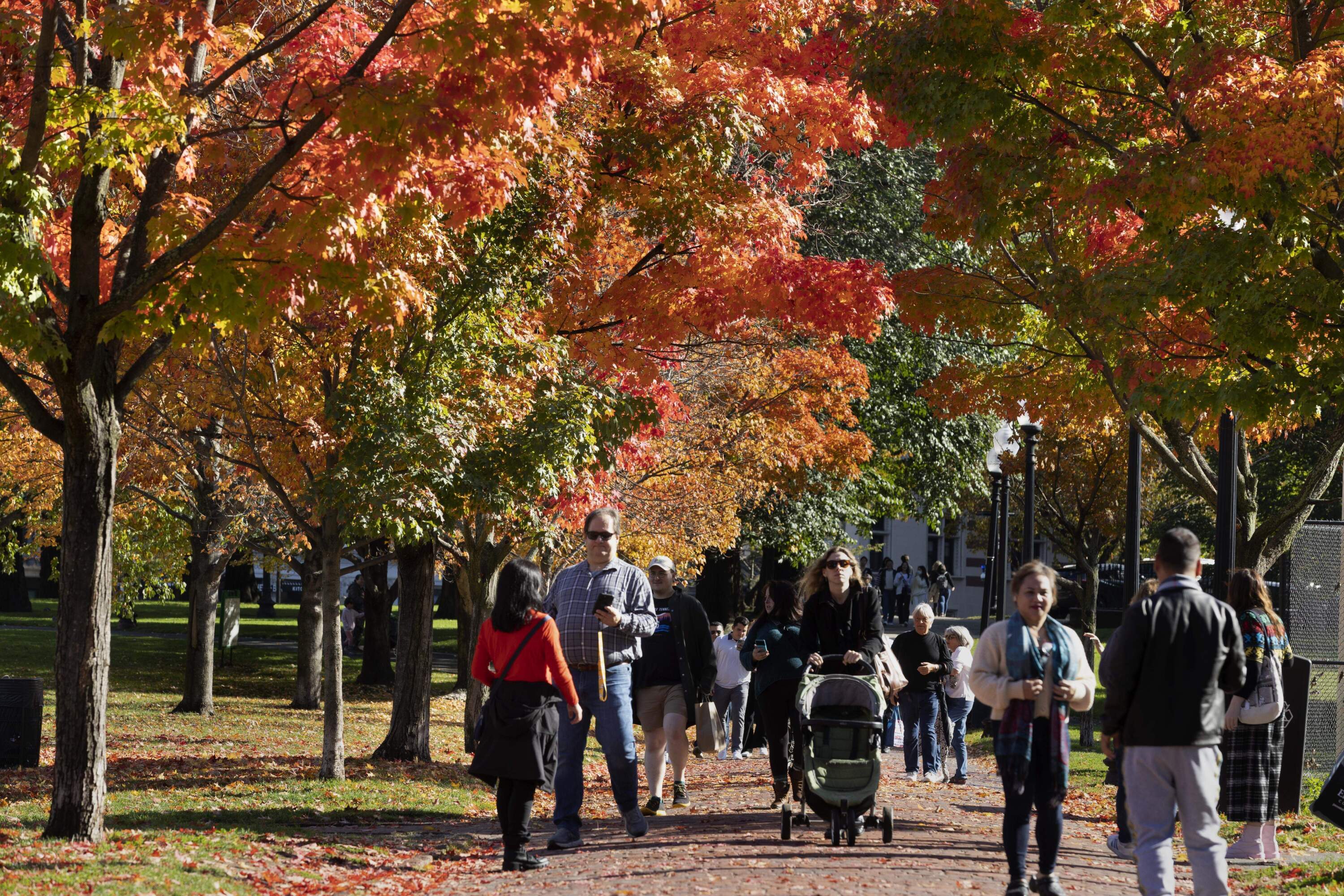
Columbus/Indigenous Peoples Day weekend in New England is the essence of autumn. The crisp air carries the scent of fallen leaves, and many trees put on their grandest display of fiery reds, oranges and yellows. It’s the perfect time for pumpkin picking, hayrides and getting lost in a corn maze.
In Boston, the warmth of Saturday's sunshine invites you to stroll along the Charles River or wander through the city’s parks, soaking in the beauty of the season. By Sunday, the threat for showers may have you cozying up with cider and a good book.
It’s a classic New England fall weekend — a little sun, a little rain and a whole lot of charm. Plus, a chance to see the northern lights. Let's break down the details so you can make your plans:
Friday
Day: Expect lots of sunshine, with temperatures reaching the mid-60s. The milder air will be accompanied by a 10 to 20 mph northwest breeze. It will feel warmer than recent days, but still crisp — a lovely fall day to get outside!
Night: Mostly clear skies with a slight breeze will keep temperatures from falling too far in the evening. Expect lows around 50 to 55 degrees, with some dipping into upper 40s far inland. Another solar flare ejected from the sun earlier this week and will bring an increased chance to see the aurora Friday night, particularly in northern New England.
Saturday
Day: Sunshine continues Saturday and it’ll feel even warmer, with highs in the upper 60s to around 70 degrees. The wind will still be active from the west-northwest at about 10 to 18 mph, with some higher gusts in the morning.
Night: The evening will be clear and cool again, with temperatures in the low- to mid-40s along the coast and upper-30s inland.
Conditions will once again be ideal for viewing of the northern lights, which may be visible even farther south. Keep in mind that sometimes they aren't visible to the naked eye but can be captured with a phone or camera. For the most up-to-date aurora viewing info, check out the National Oceanic and Atmospheric Administration's Space Weather Prediction Center.
Sunday
Day: Clouds begin to increase, with rain showers possible in the afternoon and evening as a low-pressure system approaches. Temperatures will peak around 60, but rain is expected to develop late in the day. Winds will shift to the northeast briefly, then swing to the southwest and kick up to 10-20 mph. Some gusts will be stronger at 30 mph or even 40 mph along the south coast.
Night: Some pockets of rain will continue overnight, with temperatures potentially rising a bit into the low 60s before sharply cooling heading into Monday morning.
Monday
Day: Showers linger in the morning, but skies should begin to clear by the afternoon. It will be breezy, with temperatures dropping through the 50s during the afternoon. The wind will kick up around 15 to 25 mph, keeping things feeling quite brisk.
Night: Clearing skies continue, with lows dropping back into the low 40s in the city and upper 30s in many suburbs.
