Support WBUR
Forecast: Record-breaking heat expected in Boston this week before a sharp cool down
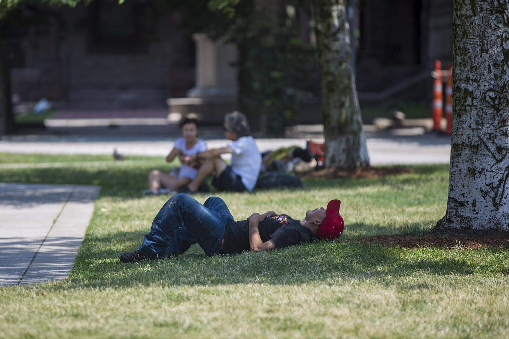
It certainly felt like summer this past weekend. Boston hit 80 on Saturday and 90 on Sunday, marking the earliest the city reached the 90-degree mark in a calendar year since 2018. Normally, the area doesn't see 90-degree days until early June, so the temperatures are running a solid three weeks ahead of schedule.
But while the weather is acting like it's mid-summer, it isn't technically in a heat wave. A heat wave is defined as three consecutive days of 90-degree temperatures or higher. Thanks to an onshore wind today, temperatures will stay capped in the 70s this afternoon — providing a brief day of relief before the heat cranks back up for a record-breaking run.
Challenging records on Tuesday and Wednesday
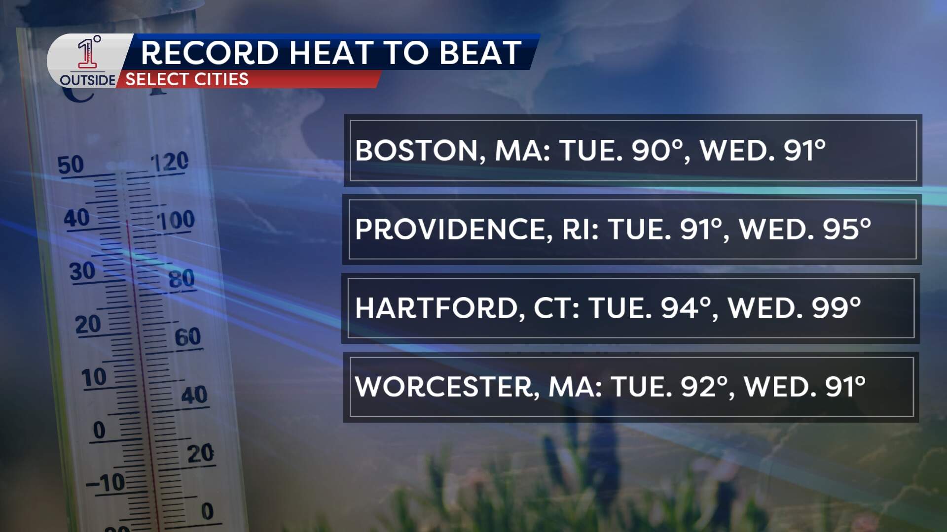
Here is a look at the records Boston has a chance to break over the next two days:
- Tuesday: Boston is forecasted to reach a high of 94 degrees. The current record to beat is 90, set in 2017.
- Wednesday: The city is expected to hit 91 degrees, which would tie the record set back in 1996.
It’s not just the heat, either; the humidity is making a comeback too. Dew points will climb into the 60s. That's not too soupy, but it will certainly be enough to add a summer "weight" to the air.
Dealing with early-season intense heat
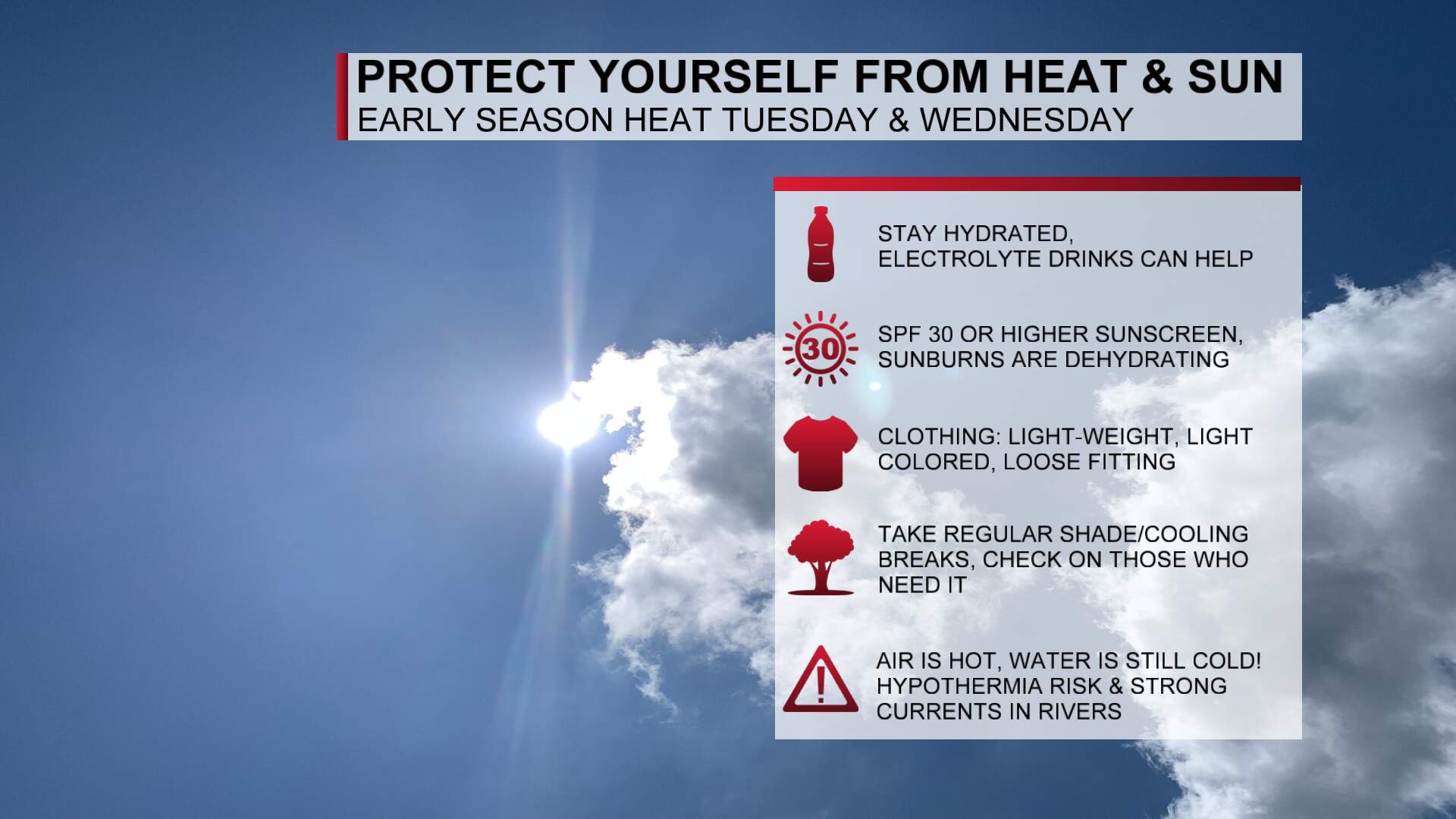
Because Bostonians haven't had time to acclimate to the heat yet, this early spike can be tougher on the body than a 90-degree day in July. Here are some safety tips:
- Hydrate early: Don't wait until thirst sets in; drink water throughout the day.
- Check on neighbors: Keep an eye on those without AC, especially the elderly.
- The "cold water" danger: The air is hot, but the water is still cold. Ocean and lake temperatures are still hovering near 50 degrees. The shock of 50-degree water on a 90-degree day can be extremely dangerous. For those headed out on a boat or kayak, remember that hypothermia can set in within minutes if someone falls in. Dress for the water temperature, not the air.
Thunderstorm risk
When high heat and humidity combine, it creates atmospheric fuel. Keep a close eye on two windows for thunderstorm activity:
- Tuesday: Expect "pop-up" storms during the heat of the afternoon. These will be hit-or-miss but may pack a punch. Main timeframe to watch is from 2 p.m. to 8 p.m..
- Wednesday: A cold front will act as a trigger, slicing into that hot air mass. Storms are predicted to develop by early afternoon, a few may become strong to severe capable of damaging wind gusts, frequent lightning and small hail.
Thursday’s big reset
The silver lining to those Wednesday storms is that the cold front behind them means business. By Thursday morning, the summer preview is over. Expect highs back in the mid-60s, which will be a 20- to 30-degree drop.
Looking Ahead
There's no intense heat in the cards for a while after Wednesday. Instead, expect below normal temperatures for the long Memorial Day Weekend with the chance of showers.
As the month closes out, Boston will likely end on a near or slightly above normal note, with temperatures settling comfortably in the 70s.
