
Support WBUR

How large is Greenland, really? Your map may be deceiving you

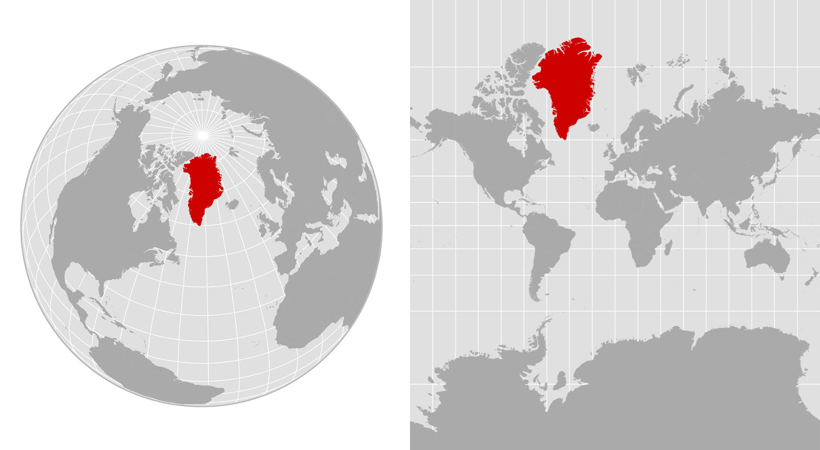
These maps show two different approaches to depicting Greenland. The left map is an orthographic projection, emulating a globe. The right map is a Mercator projection, which exaggerates the sizes of landmasses — including Greenland — that are closest to the poles. (NPR)

Related:

Support WBUR

Support WBUR

Listen Live