Advertisement
Satellite Monitoring Used To Track Human Rights Violations
Resume
Most of us are familiar with what satellite technology can do. Beyond its military applications, thanks to portable GPS systems, it has changed the way most of us find our way on the roads. But now, satellites are helping monitor, and in some cases, avoid human rights atrocities around the world.
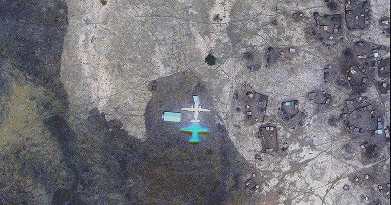
That's the goal of the Satellite Sentinel Project, based at Harvard University's Harvard Humanitarian Initiative. It uses satellite imagery to follow the movement of military vehicles, rebel forces, or other activities that might be leading to an attack on civilian populations, in places like Sudan, and most recently, Syria.
Guests:
- Nathaniel Raymond, director of operations for the Satellite Sentinel Project
Raymond is giving a lecture tonight at 6:30 p.m., at Boston' University's Photographic Resource Center entitled: War Photography for the 21st Century.
This segment aired on April 18, 2012.